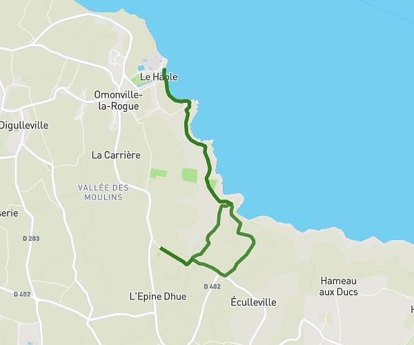
Explore this hiking route of 11.05km starting from Saussemesnil, Manche. The hike is a loop and returns to the starting point. This hike has no defined difficulty level, plan for about 3h20m to complete it. The route has a positive elevation gain of 217m and a negative elevation loss of 216m.
Ruffosses
Route details
Route profile
217m
Elevation +
216m
Elevation -
69m
Min altitude
126m
Max altitude
How to get there
Route starting point: D 87, 50700 Saussemesnil
GPS coordinates of the starting point: 49.57002, -1.4982 / 49°34'12'' N, 1°29'53'' W
Calculate the time to reach the starting point from your location or an address