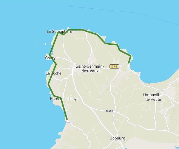
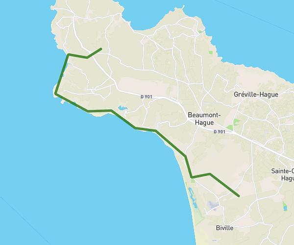
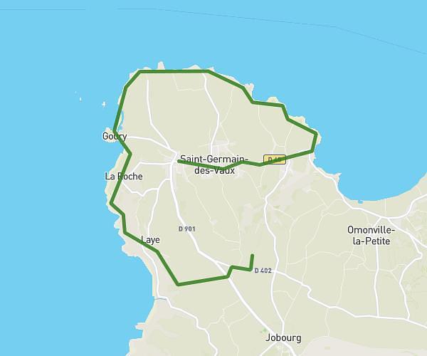
This hiking trail covers 4.763mi starting from La Hague, Manche. The hike is a loop trail and returns to the trailhead. This hike is rated as easy, plan for about 3h2m to complete it. The route has an elevation gain of 797ft and an elevation loss of 797ft.
Omonville la Rogue - Manoir du Tourp
Route details
1.57mph
Speed
1341 kcal
Calories burned
6.3%
Avg grade
Loop trail
Route type
0ft
Min altitude
367ft
Max altitude
Route profile
797ft
Elevation gain
797ft
Elevation loss
0ft
Min altitude
367ft
Max altitude
How to get there
Trailhead: 43 Rue Du Hable, 50440 La Hague, France
GPS coordinates of the trailhead: 49.7057, -1.83645 / 49°42'20'' N, 1°50'11'' W