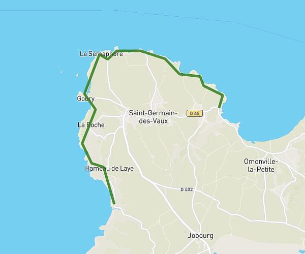
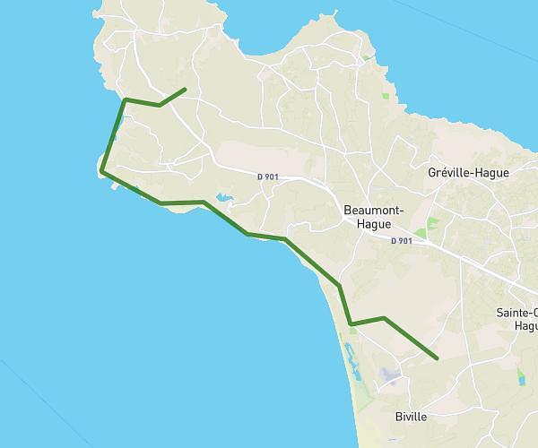
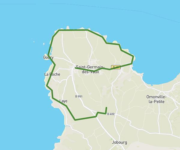
This hiking trail covers 10.93mi starting from La Hague, Manche. The hike does not return to the trailhead and ends near 20 Parking Gambetta, 50110 Cherbourg-en-Cotentin, France. This hike is rated as moderate, plan for about 3h48m to complete it. The route has an elevation gain of 610ft and an elevation loss of 1033ft.
vauville cherbourg 2
Route details
2.88mph
Speed
1624 kcal
Calories burned
2.8%
Avg grade
Point to point
Route type
26ft
Min altitude
581ft
Max altitude
Route profile
610ft
Elevation gain
1033ft
Elevation loss
26ft
Min altitude
581ft
Max altitude
How to get there
Trailhead: 6 Route Du Vinnebus Vauville, 50440 La Hague, France
GPS coordinates of the trailhead: 49.62781, -1.81194 / 49°37'40'' N, 1°48'42'' W