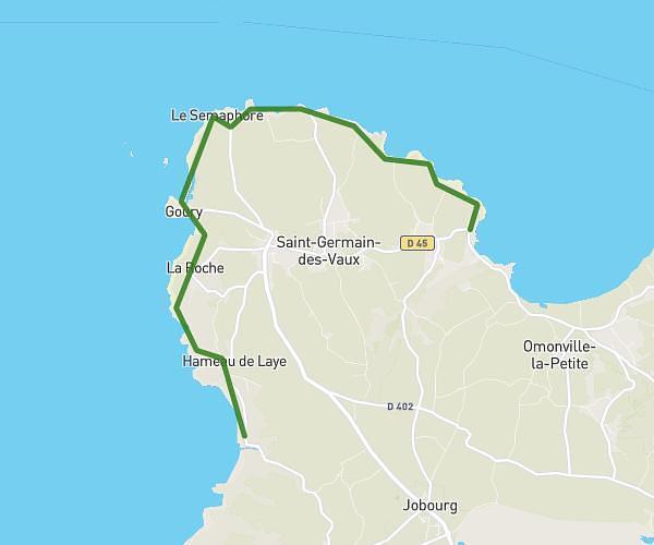
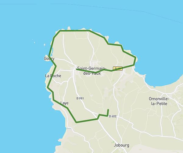
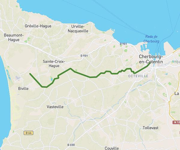
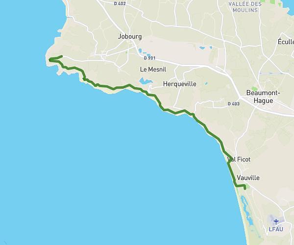
This hiking trail covers 11.551mi starting from La Hague, Manche. The hike does not return to the trailhead and ends near 6 Route Du Vinnebus Vauville, 50440 La Hague, France. This hike is rated as strenuous, plan for about 2h2m to complete it. The route has an elevation gain of 1896ft and an elevation loss of 1755ft.
BUHOTELLERIE VAUVILLE
Route details
5.68mph
Speed
898 kcal
Calories burned
6.0%
Avg grade
Point to point
Route type
46ft
Min altitude
466ft
Max altitude
Route profile
1896ft
Elevation gain
1755ft
Elevation loss
46ft
Min altitude
466ft
Max altitude
How to get there
Trailhead: 4 La Buhôtellerie, 50440 La Hague, France
GPS coordinates of the trailhead: 49.69691, -1.91196 / 49°41'48'' N, 1°54'43'' W