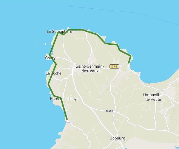
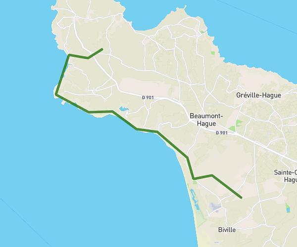
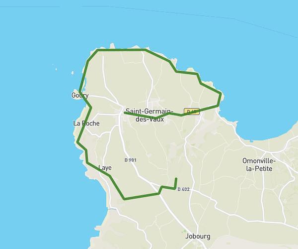
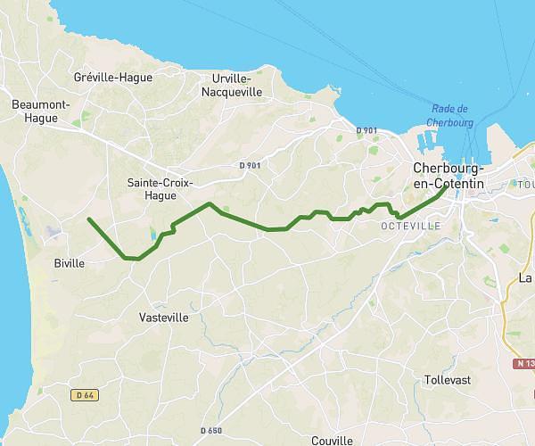
This hiking trail covers 7.089mi starting from La Hague, Manche. The hike does not return to the trailhead and ends near 13 Route Des Fontaines, 50440 La Hague, France. This hike is rated as easy, plan for about 3h15m to complete it. The route has an elevation gain of 89ft and an elevation loss of 384ft.
Rando Paques 3
Route details
2.17mph
Speed
1374 kcal
Calories burned
1.3%
Avg grade
Point to point
Route type
13ft
Min altitude
308ft
Max altitude
Route profile
89ft
Elevation gain
384ft
Elevation loss
13ft
Min altitude
308ft
Max altitude
How to get there
Trailhead: 8 Rue Des Falaises, 50440 La Hague, France
GPS coordinates of the trailhead: 49.67739, -1.93867 / 49°40'38'' N, 1°56'19'' W