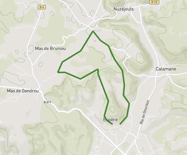
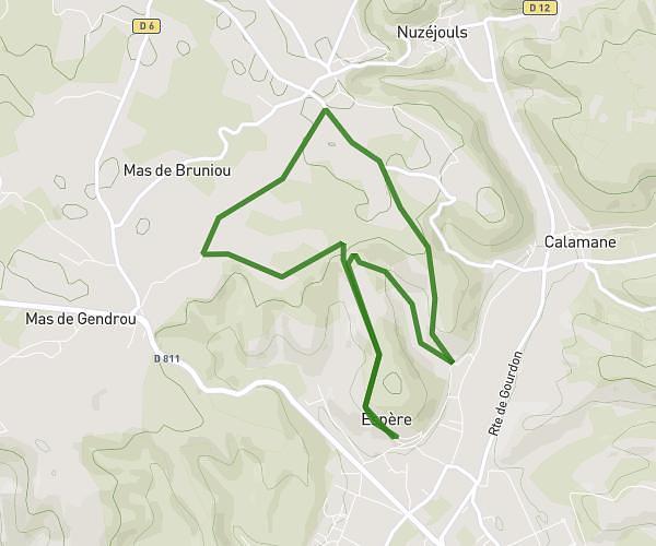
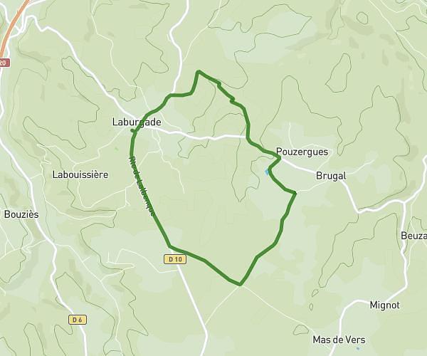
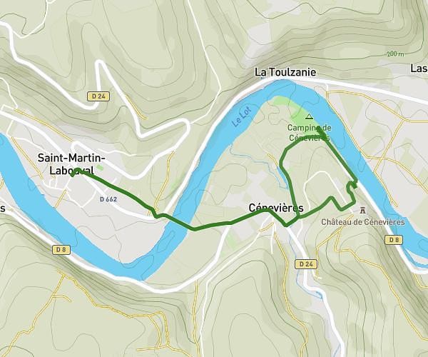
This running route covers 17.14mi starting from Francoulès, Lot. The run does not return to the trailhead and ends near 321 Route De Berthoumieux, 46250 Cazals, France. This run is rated as strenuous, expect about 3h30m to complete it. The route has an elevation gain of 1381ft and an elevation loss of 1831ft.
Cazals
Route details
4.88mph
Speed
2407 kcal
Calories burned
Point to point
Route type
538ft
Min altitude
1207ft
Max altitude
Route profile
1381ft
Elevation gain
1831ft
Elevation loss
538ft
Min altitude
1207ft
Max altitude
How to get there
Trailhead: 426 Route Du Mas Del Sol, 46090 Francoulès, France
GPS coordinates of the trailhead: 44.56592, 1.47853 / 44°33'57'' N, 1°28'42'' E