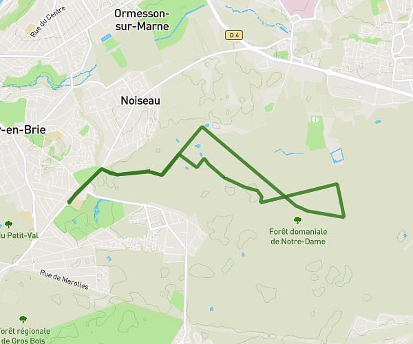
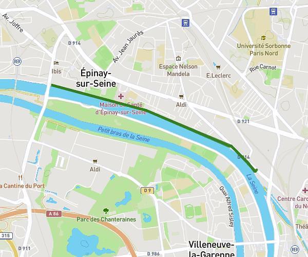
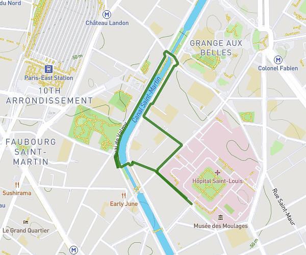
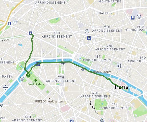
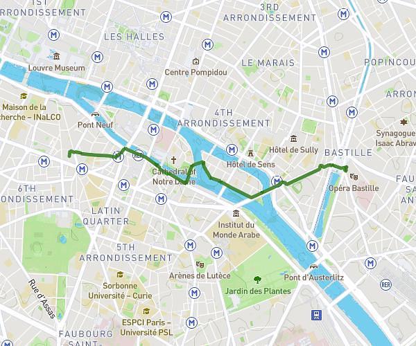
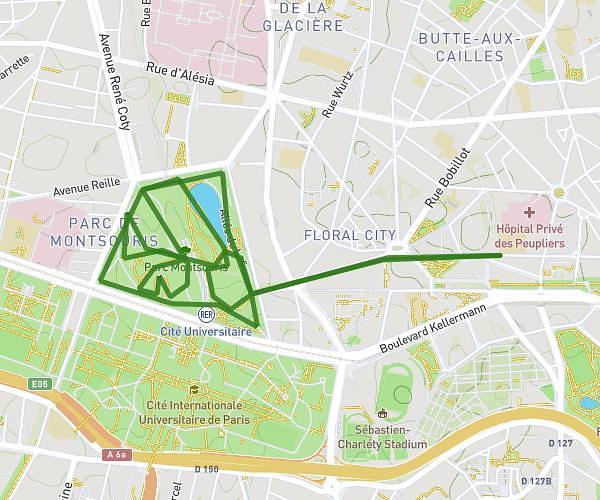
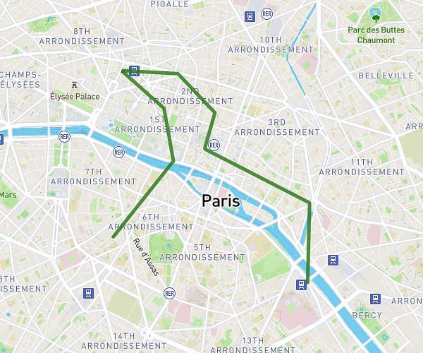
This walking route covers 6.636mi starting from Île-de-France, Paris. The walk is a loop trail and returns to the trailhead. This walk is rated as easy, plan for about 2h21m to complete it. The route has an elevation gain of 633ft and an elevation loss of 636ft.
jour 1
Route details
21:16/mi
Pace
576 kcal
Calories burned
Loop trail
Route type
95ft
Min altitude
217ft
Max altitude
Route profile
633ft
Elevation gain
636ft
Elevation loss
95ft
Min altitude
217ft
Max altitude
How to get there
Trailhead: Rue De L'abbé Grégoire, 75006 Paris
GPS coordinates of the trailhead: 48.84829, 2.3247 / 48°50'53'' N, 2°19'28'' E