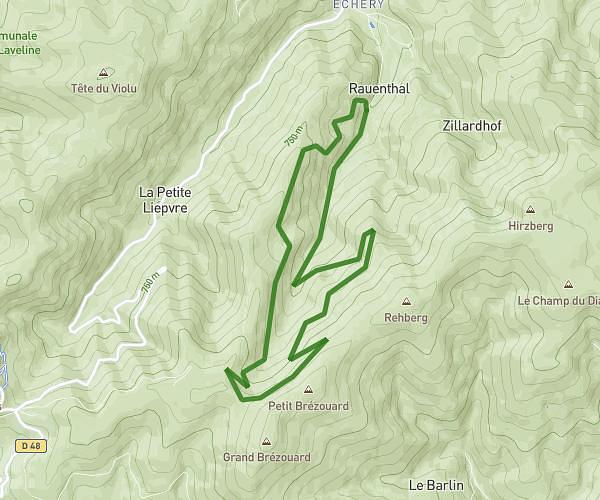
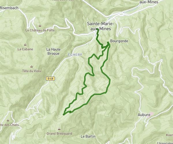
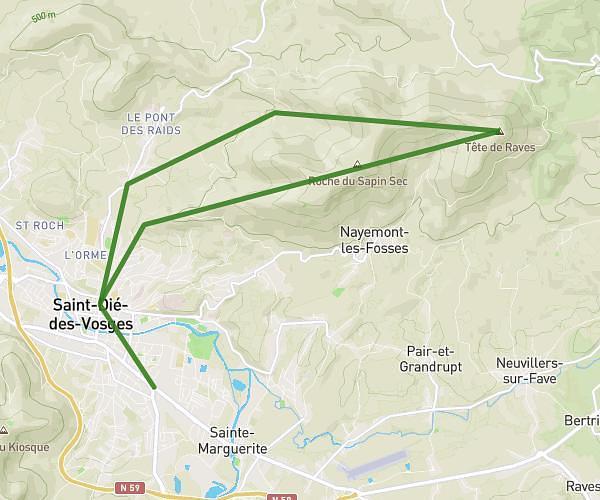
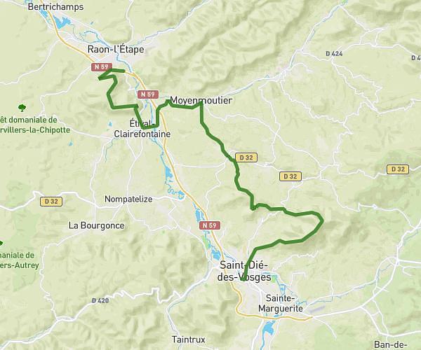
This hiking trail covers 12.111mi starting from La Petite-Raon, Vosges. The hike is a loop trail and returns to the trailhead. This hike is rated as hard, plan for about 3h14m to complete it. The route has an elevation gain of 1286ft and an elevation loss of 1276ft.
Ortemont 04.04.2025
Route details
3.73mph
Speed
1410 kcal
Calories burned
4.0%
Avg grade
Loop trail
Route type
1158ft
Min altitude
2018ft
Max altitude
Route profile
1286ft
Elevation gain
1276ft
Elevation loss
1158ft
Min altitude
2018ft
Max altitude
How to get there
Trailhead: Rue Suzanne Goeppel, 88210 La Petite-Raon
GPS coordinates of the trailhead: 48.40558, 6.99718 / 48°24'20'' N, 6°59'49'' E