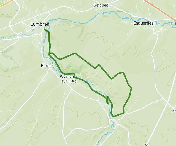
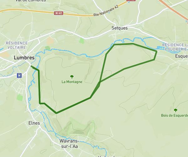
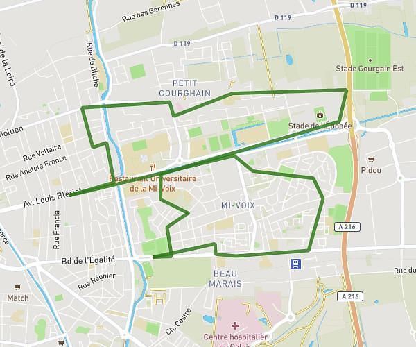
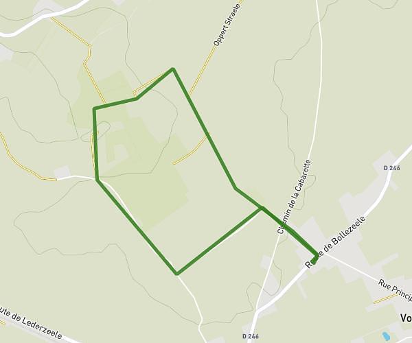
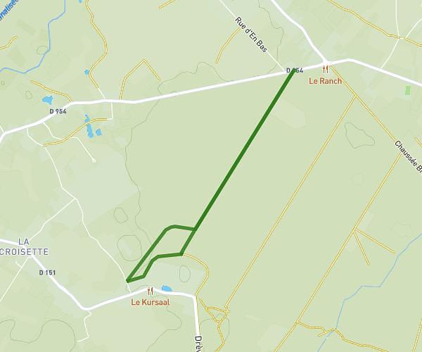
This walking route covers 0.786mi starting from Bourbourg, Nord. The walk does not return to the trailhead and ends near 1 Rue Gustave Meesemaecker, 59630 Bourbourg, France. This walk is rated as easy, plan for about 17m to complete it. The route has an elevation gain of 26ft and an elevation loss of 16ft.
bande de Bourbourg
Route details
21:39/mi
Pace
69 kcal
Calories burned
Point to point
Route type
7ft
Min altitude
20ft
Max altitude
Route profile
26ft
Elevation gain
16ft
Elevation loss
7ft
Min altitude
20ft
Max altitude
How to get there
Trailhead: 42 Rue Jean Varlet, 59630 Bourbourg, France
GPS coordinates of the trailhead: 50.94352, 2.19579 / 50°56'36'' N, 2°11'44'' E