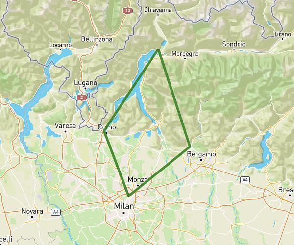
This cycling route covers 8.392mi starting from Olginate, Lecco. The ride does not return to the trailhead and ends near Lungolario Isonzo 17, 23900 Lecco Lecco, Italy. This route is rated as easy, plan for about 51m to complete it. The route has an elevation gain of 39ft and an elevation loss of 26ft.
Mandello 4
Route details
447 kcal
Calories burned
0.1%
Avg grade
Point to point
Route type
646ft
Min altitude
666ft
Max altitude
Route profile
39ft
Elevation gain
26ft
Elevation loss
646ft
Min altitude
666ft
Max altitude
How to get there
Trailhead: Via Milano 97, 23854 Olginate Lecco, Italy
GPS coordinates of the trailhead: 45.763934, 9.426532 / 45°45'50'' N, 9°25'35'' E