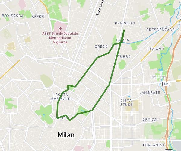
This cycling route covers 165.466mi starting from Cinisello Balsamo, Milan. The ride is a loop trail and returns to the trailhead. This route is rated as strenuous, plan for about 11h39m to complete it. The route has an elevation gain of 22339ft and an elevation loss of 22343ft.
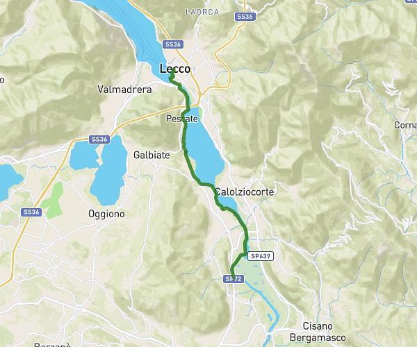
Lago esterno con Culmine e Bura
Route details
6325 kcal
Calories burned
5.1%
Avg grade
Loop trail
Route type
463ft
Min altitude
4157ft
Max altitude
Steep climb
Route profile
22339ft
Elevation gain
22343ft
Elevation loss
463ft
Min altitude
4157ft
Max altitude
How to get there
Trailhead: Via Milanese 302, 20092 Cinisello Balsamo Milan, Italy
GPS coordinates of the trailhead: 45.537516, 9.218811 / 45°32'15'' N, 9°13'7'' E