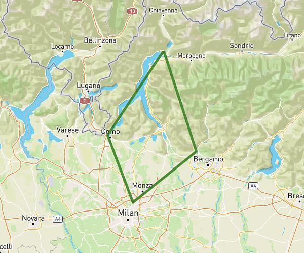
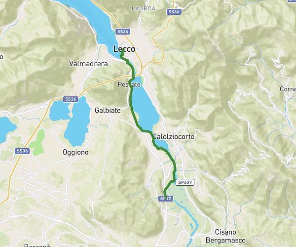
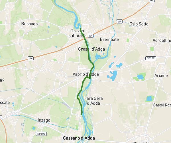
This cycling route covers 18.522mi starting from Trezzo sull'Adda, Milan. The ride does not return to the trailhead and ends near Via Milano 97, 23854 Olginate Lecco, Italy. This route is rated as moderate, plan for about 1h52m to complete it. The route has an elevation gain of 456ft and an elevation loss of 315ft.
Mandlello 3
Route details
986 kcal
Calories burned
0.8%
Avg grade
Point to point
Route type
495ft
Min altitude
951ft
Max altitude
Route profile
456ft
Elevation gain
315ft
Elevation loss
495ft
Min altitude
951ft
Max altitude
How to get there
Trailhead: Via Castello 10, 20056 Trezzo sull'Adda Milan, Italy
GPS coordinates of the trailhead: 45.613217, 9.523075 / 45°36'47'' N, 9°31'23'' E