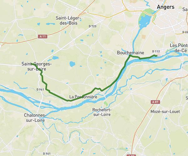
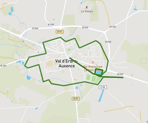
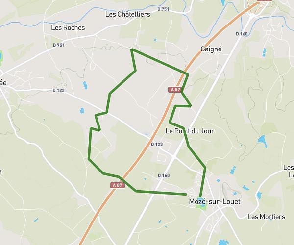
This running route covers 4.263mi starting from Mûrs-Erigné, Maine-et-Loire. The run is a loop trail and returns to the trailhead. This run is rated as easy, expect about 37m25s to complete it. The route has an elevation gain of 66ft and an elevation loss of 72ft.
training 7k
Route details
6.84mph
Speed
428 kcal
Calories burned
Loop trail
Route type
102ft
Min altitude
174ft
Max altitude
Route profile
66ft
Elevation gain
72ft
Elevation loss
102ft
Min altitude
174ft
Max altitude
How to get there
Trailhead: 9 Rue Des Oiseaux, 49610 Mûrs-Erigné, France
GPS coordinates of the trailhead: 47.39867, -0.54049 / 47°23'55'' N, 0°32'25'' W