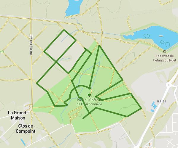
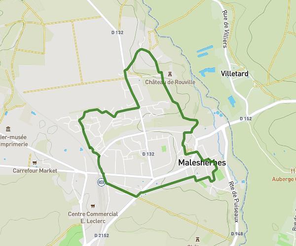
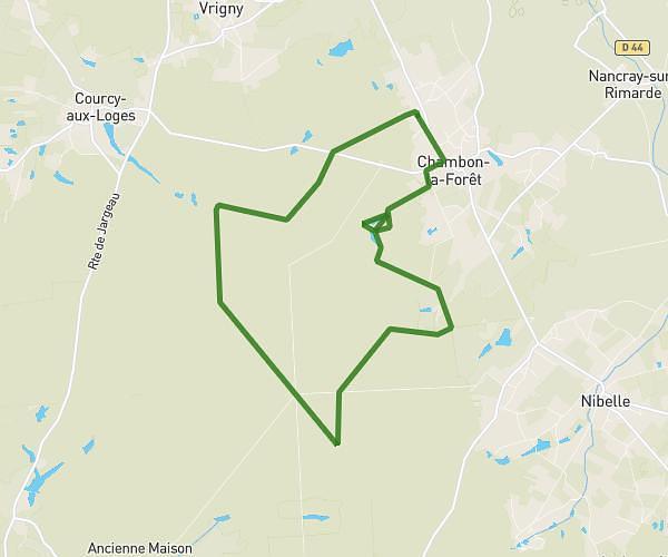
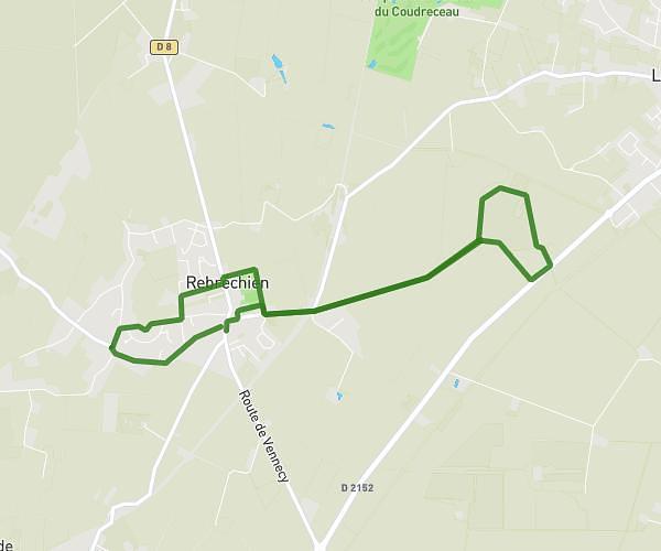
This running route covers 9.263mi starting from Pithiviers-le-Vieil, Loiret. The run does not return to the trailhead and ends near 26 Rue Des Colverts, 45300 Pithiviers-le-Vieil, France. This run is rated as hard, expect about 1h3m to complete it. The route has an elevation gain of 20ft and an elevation loss of 20ft.
balade cheval plv
Route details
8.7mph
Speed
730 kcal
Calories burned
Point to point
Route type
387ft
Min altitude
404ft
Max altitude
Route profile
20ft
Elevation gain
20ft
Elevation loss
387ft
Min altitude
404ft
Max altitude
How to get there
Trailhead: 2 Place Du Monceau, 45300 Pithiviers-le-Vieil, France
GPS coordinates of the trailhead: 48.15938, 2.20365 / 48°9'33'' N, 2°12'13'' E