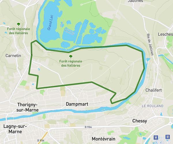
This hiking trail covers 2.961mi starting from Bagnolet, Seine-Saint-Denis. The hike is a loop trail and returns to the trailhead. This hike is rated as easy, plan for about 1h30m to complete it. The route has an elevation gain of 217ft and an elevation loss of 217ft.
Promenade Guess
Route details
1.98mph
Speed
645 kcal
Calories burned
2.8%
Avg grade
Loop trail
Route type
292ft
Min altitude
390ft
Max altitude
Route profile
217ft
Elevation gain
217ft
Elevation loss
292ft
Min altitude
390ft
Max altitude
How to get there
Trailhead: 155 Avenue Gambetta, 93170 Bagnolet, France
GPS coordinates of the trailhead: 48.87412, 2.42096 / 48°52'26'' N, 2°25'15'' E