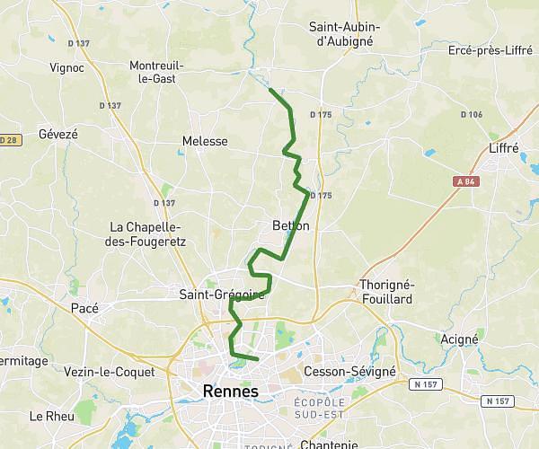
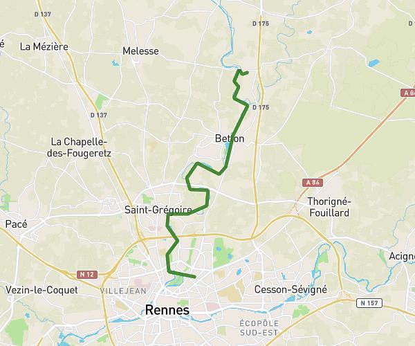
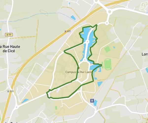
This hiking trail covers 2.5mi starting from Bruz, Ille-et-Vilaine. The hike is a loop trail and returns to the trailhead. This hike is rated as easy, plan for about 54m51s to complete it. The route has an elevation gain of 203ft and an elevation loss of 207ft.
Children Act GO
Route details
2.73mph
Speed
394 kcal
Calories burned
3.1%
Avg grade
Loop trail
Route type
75ft
Min altitude
121ft
Max altitude
Route profile
203ft
Elevation gain
207ft
Elevation loss
75ft
Min altitude
121ft
Max altitude
How to get there
Trailhead: 13 Contour Antoine De Saint-Exupéry, 35170 Bruz, France
GPS coordinates of the trailhead: 48.048693, -1.739995 / 48°2'55'' N, 1°44'23'' W