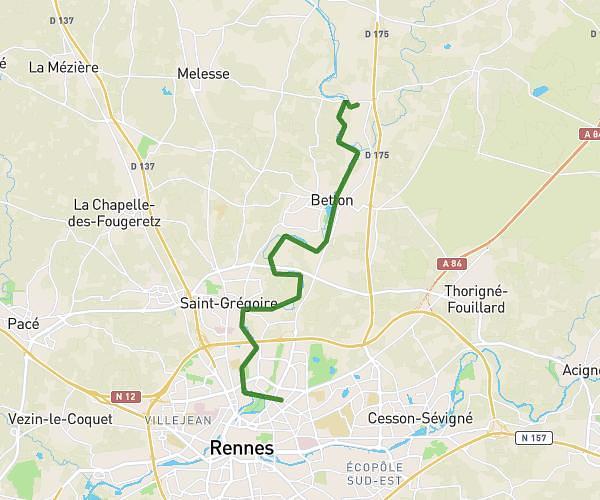
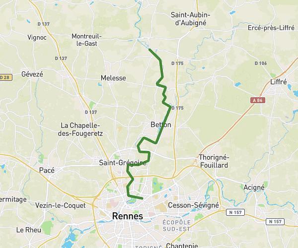
This hiking trail covers 10.871mi starting from Rennes, Ille-et-Vilaine. The hike does not return to the trailhead and ends near 30 Rue D'ille Et Rance, 35250 Chevaigné, France. This hike is rated as moderate, plan for about 4h22m to complete it. The route has an elevation gain of 571ft and an elevation loss of 554ft.
Rennes - Chevaigné
Route details
2.49mph
Speed
1867 kcal
Calories burned
2.0%
Avg grade
Point to point
Route type
79ft
Min altitude
187ft
Max altitude
Route profile
571ft
Elevation gain
554ft
Elevation loss
79ft
Min altitude
187ft
Max altitude
How to get there
Trailhead: 2 Rue Docteur Bertheux, 35700 Rennes, France
GPS coordinates of the trailhead: 48.124925, -1.663043 / 48°7'29'' N, 1°39'46'' W