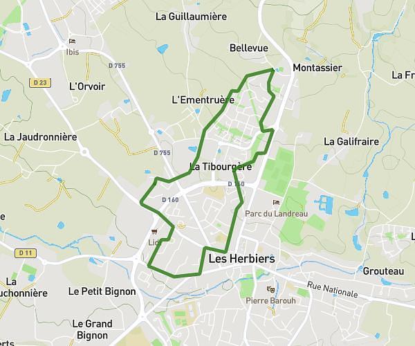
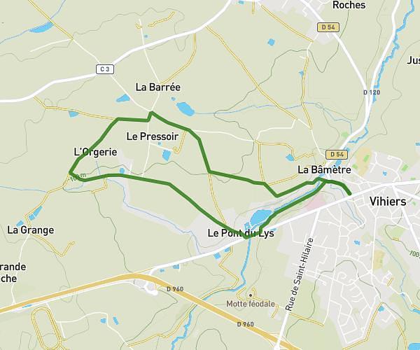
This hiking trail covers 6.341mi starting from Mauléon, Deux-Sèvres. The hike is a loop trail and returns to the trailhead. This hike is rated as easy, plan for about 1h36m to complete it. The route has an elevation gain of 279ft and an elevation loss of 279ft.
10 km chemin vert
Route details
3.96mph
Speed
681 kcal
Calories burned
1.7%
Avg grade
Loop trail
Route type
525ft
Min altitude
640ft
Max altitude
Route profile
279ft
Elevation gain
279ft
Elevation loss
525ft
Min altitude
640ft
Max altitude
How to get there
Trailhead: 29 Rue De La Vallée De L'ouin, 79700 Mauléon, France
GPS coordinates of the trailhead: 46.91847, -0.7459 / 46°55'6'' N, 0°44'45'' W