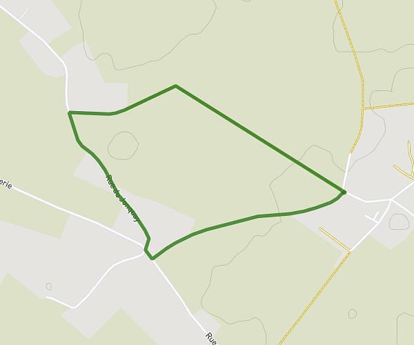
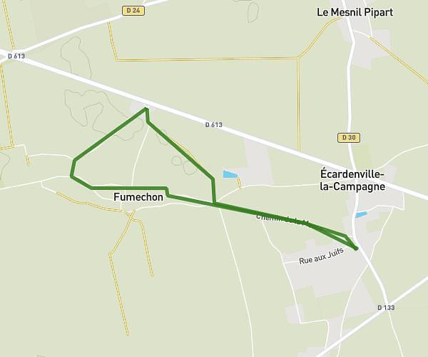
This walking route covers 6.591mi starting from Épaignes, Eure. The walk is a loop trail and returns to the trailhead. This walk is rated as hard, plan for about 2h21m to complete it. The route has an elevation gain of 187ft and an elevation loss of 187ft.
Christian Alain Daniel LAVIN-CARDO
Route details
21:25/mi
Pace
576 kcal
Calories burned
Loop trail
Route type
453ft
Min altitude
587ft
Max altitude
Route profile
187ft
Elevation gain
187ft
Elevation loss
453ft
Min altitude
587ft
Max altitude
How to get there
Trailhead: Route De Pont-Audemer, 27260 Épaignes
GPS coordinates of the trailhead: 49.28115, 0.44234 / 49°16'52'' N, 0°26'32'' E