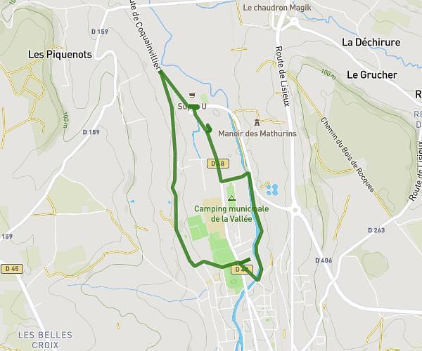
This walking route covers 5.049mi starting from Honfleur, Calvados. The walk does not return to the trailhead and ends near 2850 Route De Genneville, 14600 Ablon, France. This walk is rated as hard, plan for about 1h48m to complete it. The route has an elevation gain of 597ft and an elevation loss of 325ft.
Honfleur -Ablon
Route details
21:25/mi
Pace
441 kcal
Calories burned
Point to point
Route type
39ft
Min altitude
384ft
Max altitude
Route profile
597ft
Elevation gain
325ft
Elevation loss
39ft
Min altitude
384ft
Max altitude
How to get there
Trailhead: 50 Rue Bucaille, 14600 Honfleur, France
GPS coordinates of the trailhead: 49.421054, 0.228643 / 49°25'15'' N, 0°13'43'' E