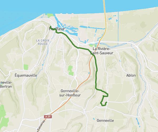
This walking route covers 0.682mi starting from Montivilliers, Seine-Maritime. The walk does not return to the trailhead and ends near Rue De Tourneville, 76600 Harfleur. This walk is rated as easy, plan for about 15m to complete it. The route has an elevation gain of 43ft and an elevation loss of 62ft.
darty/monod
Route details
22:00/mi
Pace
61 kcal
Calories burned
Point to point
Route type
16ft
Min altitude
56ft
Max altitude
Route profile
43ft
Elevation gain
62ft
Elevation loss
16ft
Min altitude
56ft
Max altitude
How to get there
Trailhead: Gare SNCF de Jacques Monod-la Demi-Lieue, 76290 Montivilliers
GPS coordinates of the trailhead: 49.5268, 0.18575 / 49°31'36'' N, 0°11'8'' E