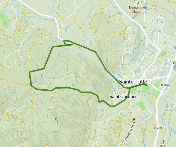
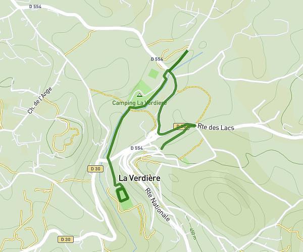
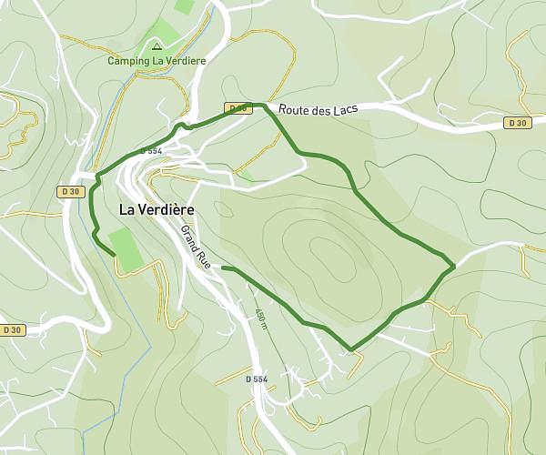
This running route covers 6.214mi starting from Valensole, Alpes-de-Haute-Provence. The run does not return to the trailhead and ends near D 115, 04210 Brunet, France. This run is rated as moderate, expect about 1h11m to complete it. The route has an elevation gain of 623ft and an elevation loss of 371ft.
Val d'asse
Route details
5.22mph
Speed
817 kcal
Calories burned
Point to point
Route type
1129ft
Min altitude
1391ft
Max altitude
Route profile
623ft
Elevation gain
371ft
Elevation loss
1129ft
Min altitude
1391ft
Max altitude
How to get there
Trailhead: Route Du Val D'asse, 04210 Valensole, France
GPS coordinates of the trailhead: 43.87629, 5.9114 / 43°52'34'' N, 5°54'41'' E