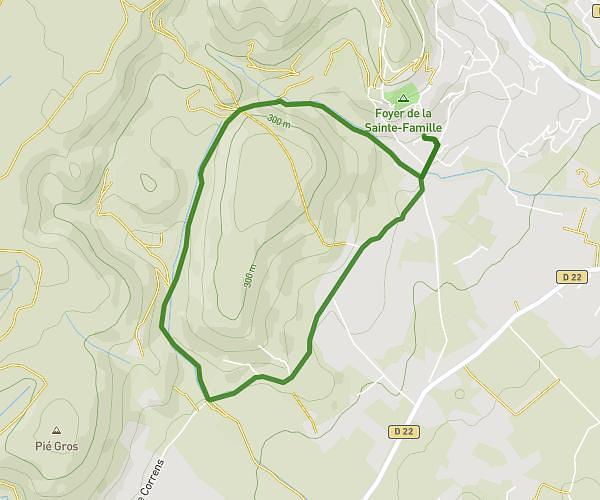
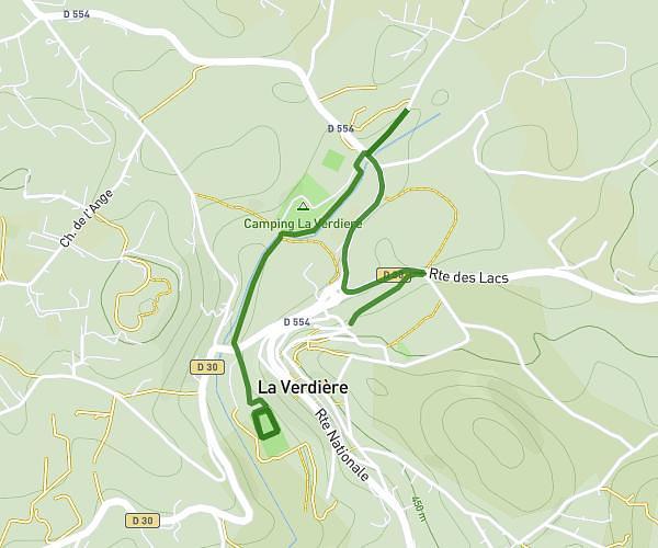
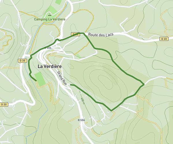
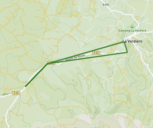
This running route covers 1.66mi starting from La Verdière, Var. The run does not return to the trailhead and ends near 264 Route De Rians, 83560 La Verdière, France. This run is rated as easy, expect about 18m to complete it. The route has an elevation gain of 0ft and an elevation loss of 207ft.
La Verdière avec Robin
Route details
5.54mph
Speed
206 kcal
Calories burned
Point to point
Route type
1339ft
Min altitude
1545ft
Max altitude
Route profile
0ft
Elevation gain
207ft
Elevation loss
1339ft
Min altitude
1545ft
Max altitude
How to get there
Trailhead: 184 Chemin Saint-Joseph, 83560 La Verdière, France
GPS coordinates of the trailhead: 43.636195, 5.938163 / 43°38'10'' N, 5°56'17'' E