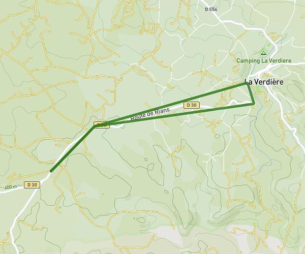
This running route covers 1.257mi starting from La Verdière, Var. The run does not return to the trailhead and ends near 682 Route De Rians, 83560 La Verdière, France. This run is rated as easy, expect about 30m to complete it. The route has an elevation gain of 125ft and an elevation loss of 269ft.
1re run sans pause 🤙
Route details
2.52mph
Speed
343 kcal
Calories burned
Point to point
Route type
1325ft
Min altitude
1555ft
Max altitude
Route profile
125ft
Elevation gain
269ft
Elevation loss
1325ft
Min altitude
1555ft
Max altitude
How to get there
Trailhead: 134 Chemin Saint-Joseph, 83560 La Verdière, France
GPS coordinates of the trailhead: 43.6367, 5.93685 / 43°38'12'' N, 5°56'12'' E