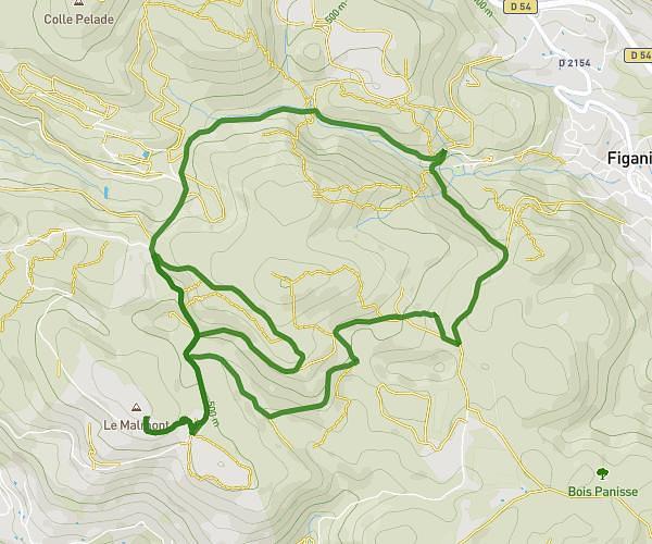
This running route covers 2.941mi starting from Cotignac, Var. The run is a loop trail and returns to the trailhead. This run is rated as easy, expect about 32m to complete it. The route has an elevation gain of 427ft and an elevation loss of 433ft.
Caillade
Route details
5.51mph
Speed
366 kcal
Calories burned
Loop trail
Route type
705ft
Min altitude
965ft
Max altitude
Route profile
427ft
Elevation gain
433ft
Elevation loss
705ft
Min altitude
965ft
Max altitude
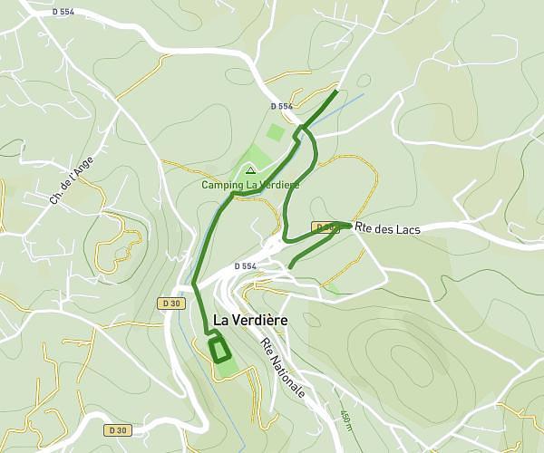
How to get there
Trailhead: 170 Chemin De Correns, 83570 Cotignac, France
GPS coordinates of the trailhead: 43.516492, 6.148221 / 43°30'59'' N, 6°8'53'' E