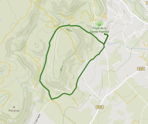
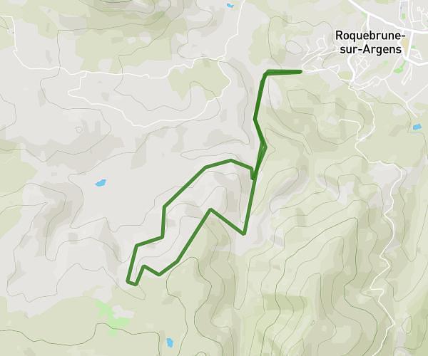
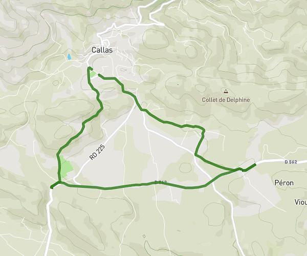
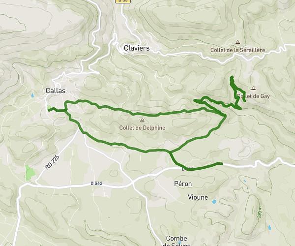
This running route covers 7.133mi starting from Draguignan, Var. The run is a loop trail and returns to the trailhead. This run is rated as moderate, expect about 1h32s to complete it. The route has an elevation gain of 1286ft and an elevation loss of 1286ft.
malmont
Route details
7.07mph
Speed
692 kcal
Calories burned
Loop trail
Route type
1302ft
Min altitude
1847ft
Max altitude
Route profile
1286ft
Elevation gain
1286ft
Elevation loss
1302ft
Min altitude
1847ft
Max altitude
How to get there
Trailhead: Chemin Le Grelon, 83300 Draguignan, France
GPS coordinates of the trailhead: 43.556818, 6.465658 / 43°33'24'' N, 6°27'56'' E