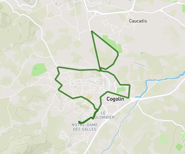
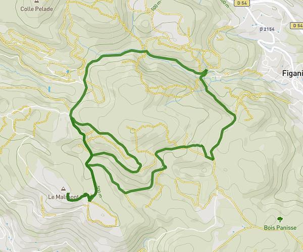
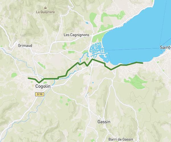
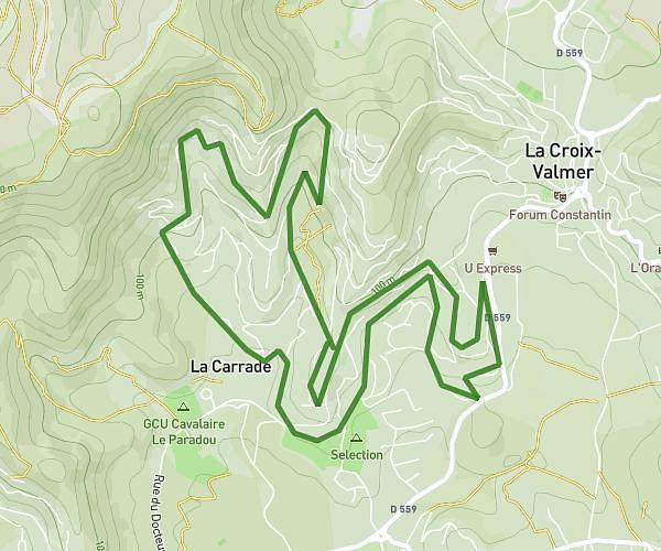
This running route covers 5.065mi starting from Roquebrune-sur-Argens, Var. The run is a loop trail and returns to the trailhead. This run is rated as moderate, expect about 49m to complete it. The route has an elevation gain of 988ft and an elevation loss of 984ft.
Run 1
Route details
6.2mph
Speed
560 kcal
Calories burned
Loop trail
Route type
72ft
Min altitude
791ft
Max altitude
Route profile
988ft
Elevation gain
984ft
Elevation loss
72ft
Min altitude
791ft
Max altitude
How to get there
Trailhead: 869 Boulevard Sainte-Candie, 83520 Roquebrune-sur-Argens, France
GPS coordinates of the trailhead: 43.44077, 6.62789 / 43°26'26'' N, 6°37'40'' E