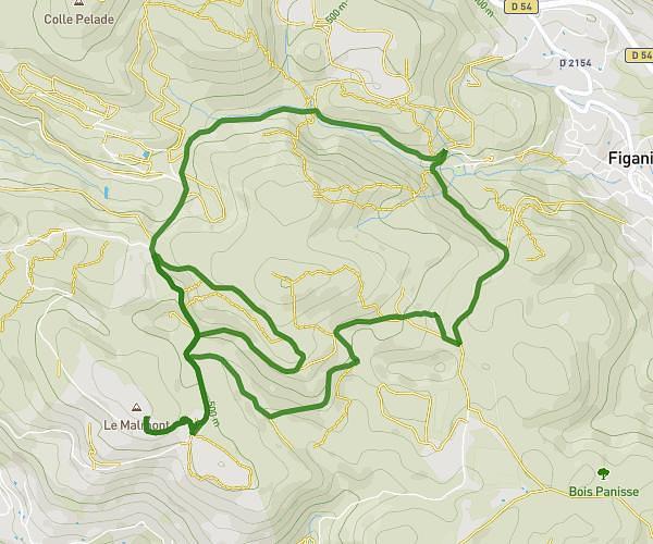
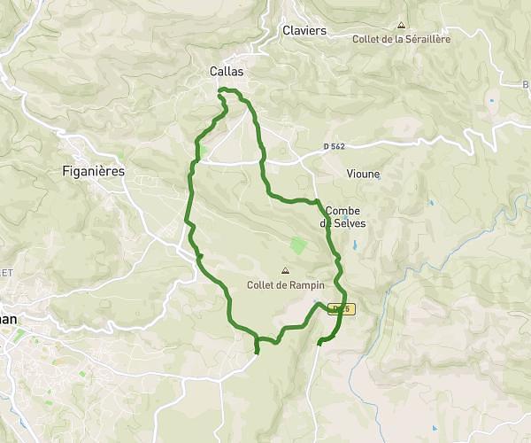
This running route covers 6.262mi starting from Callas, Var. The run is a loop trail and returns to the trailhead. This run is rated as moderate, expect about 1h7m to complete it. The route has an elevation gain of 728ft and an elevation loss of 699ft.
Course
Route details
5.59mph
Speed
768 kcal
Calories burned
Loop trail
Route type
873ft
Min altitude
1243ft
Max altitude
Route profile
728ft
Elevation gain
699ft
Elevation loss
873ft
Min altitude
1243ft
Max altitude
How to get there
Trailhead: 93 Ancien Chemin De Draguignan, 83830 Callas, France
GPS coordinates of the trailhead: 43.58895, 6.53808 / 43°35'20'' N, 6°32'17'' E