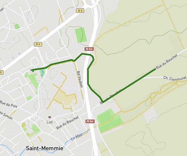
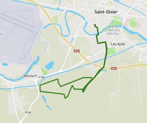
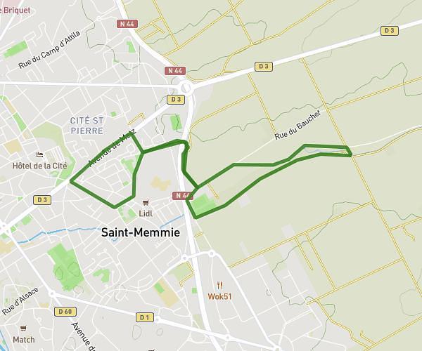
This running route covers 6.059mi starting from Lisse-en-Champagne, Marne. The run is a loop trail and returns to the trailhead. This run is rated as moderate, expect about 58m30s to complete it. The route has an elevation gain of 459ft and an elevation loss of 459ft.
dany4
Route details
6.21mph
Speed
669 kcal
Calories burned
Loop trail
Route type
397ft
Min altitude
666ft
Max altitude
Route profile
459ft
Elevation gain
459ft
Elevation loss
397ft
Min altitude
666ft
Max altitude
How to get there
Trailhead: Grande Rue, 51300 Lisse-en-Champagne
GPS coordinates of the trailhead: 48.81339, 4.6415 / 48°48'48'' N, 4°38'29'' E