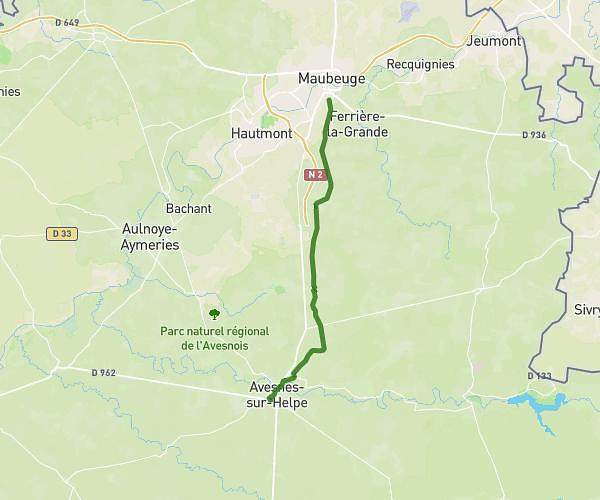
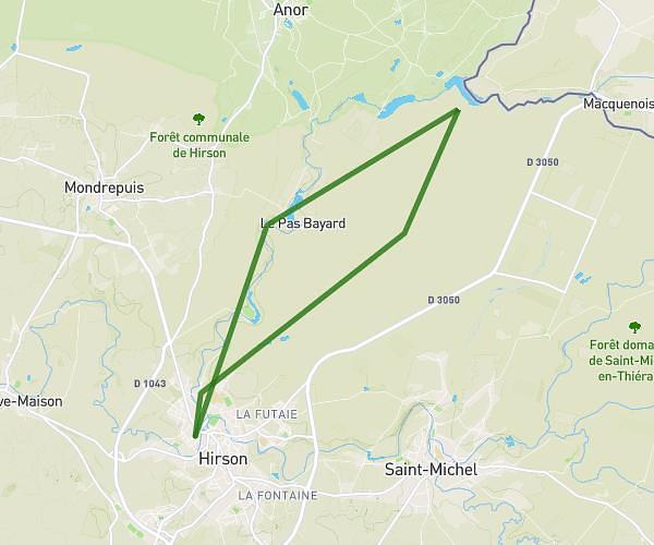
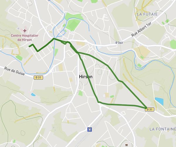
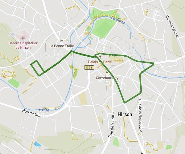
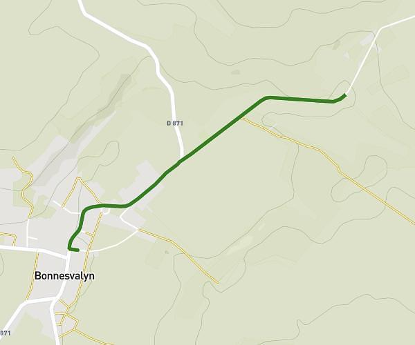
This running route covers 2.472mi starting from Clairfontaine, Aisne. The run is a loop trail and returns to the trailhead. This run is rated as easy, expect about 27m to complete it. The route has an elevation gain of 36ft and an elevation loss of 30ft.
Mfr Clairfontaine
Route details
5.49mph
Speed
309 kcal
Calories burned
Loop trail
Route type
699ft
Min altitude
735ft
Max altitude
Route profile
36ft
Elevation gain
30ft
Elevation loss
699ft
Min altitude
735ft
Max altitude
How to get there
Trailhead: 2t Rue Du Champ Bouvier, 02260 Clairfontaine, France
GPS coordinates of the trailhead: 49.95129, 3.96451 / 49°57'4'' N, 3°57'52'' E