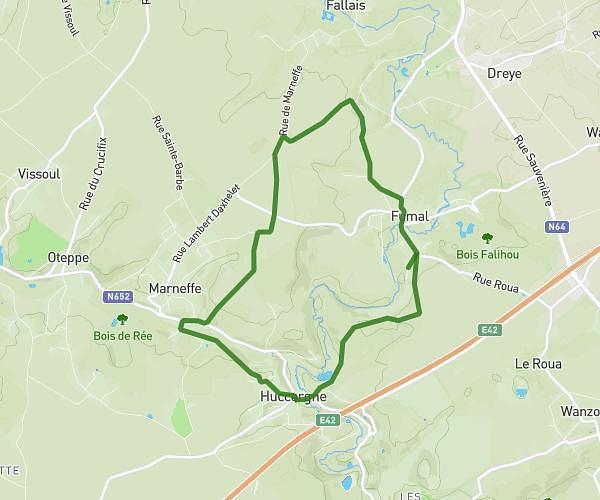
This hiking trail covers 4.795mi starting from Awans, Liege. The hike is a loop trail and returns to the trailhead. This hike is rated as easy, plan for about 1h40m to complete it. The route has an elevation gain of 187ft and an elevation loss of 190ft.
Entraînement
Route details
2.88mph
Speed
709 kcal
Calories burned
1.5%
Avg grade
Loop trail
Route type
476ft
Min altitude
525ft
Max altitude
Route profile
187ft
Elevation gain
190ft
Elevation loss
476ft
Min altitude
525ft
Max altitude
How to get there
Trailhead: Rue Fernand Musin 21, 4340 Awans, Liege, Belgium
GPS coordinates of the trailhead: 50.664352, 5.464428 / 50°39'51'' N, 5°27'51'' E