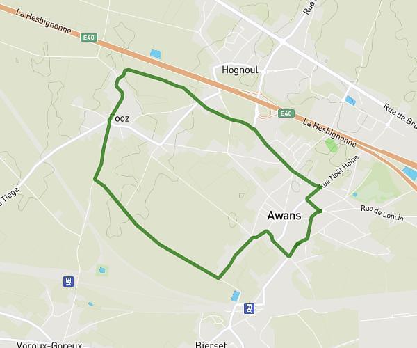
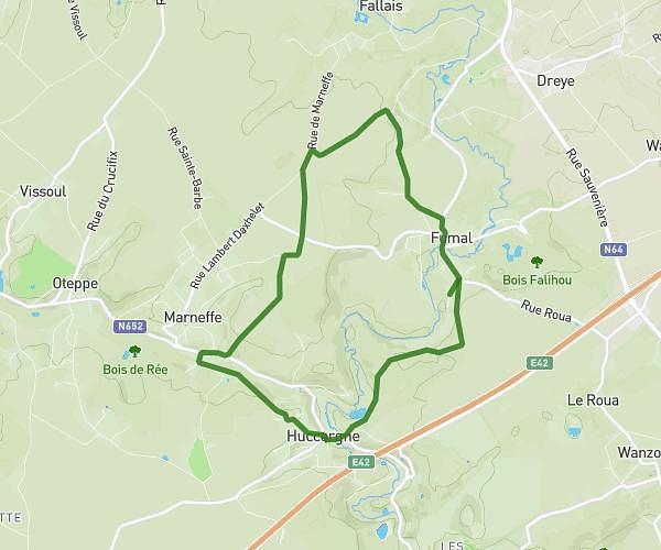
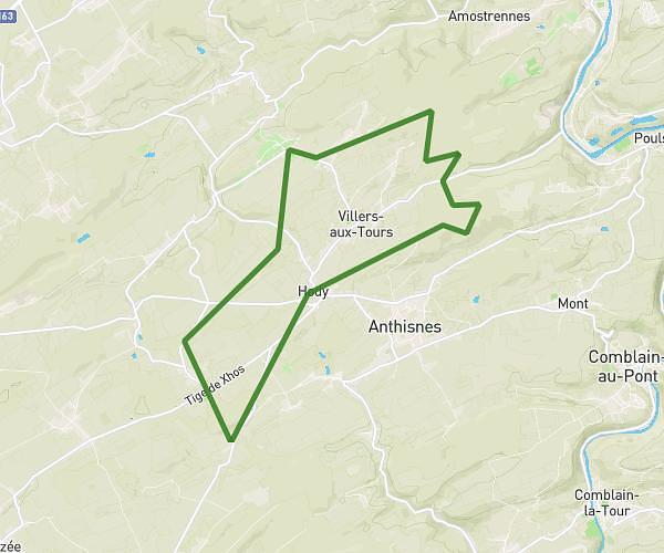
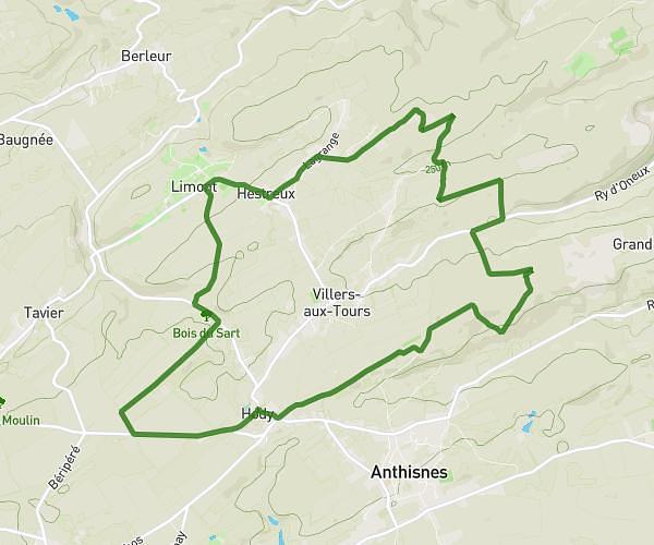
This hiking trail covers 15.299mi starting from Liège, Liege. The hike is a loop trail and returns to the trailhead. This hike is rated as hard, plan for about 6h to complete it. The route has an elevation gain of 1145ft and an elevation loss of 1148ft.
La Gaufff
Route details
2.55mph
Speed
2580 kcal
Calories burned
2.8%
Avg grade
Loop trail
Route type
187ft
Min altitude
741ft
Max altitude
Route profile
1145ft
Elevation gain
1148ft
Elevation loss
187ft
Min altitude
741ft
Max altitude
How to get there
Trailhead: Place Saint-Lambert, 4000 Liège
GPS coordinates of the trailhead: 50.64435, 5.57281 / 50°38'39'' N, 5°34'22'' E