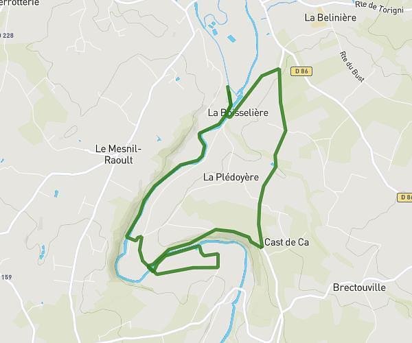
This running route covers 2.579mi starting from Saint-Lô, Manche. The run is a loop trail and returns to the trailhead. This run is rated as easy, expect about 46m to complete it. The route has an elevation gain of 62ft and an elevation loss of 85ft.
4 fevrier
Route details
3.36mph
Speed
526 kcal
Calories burned
Loop trail
Route type
131ft
Min altitude
217ft
Max altitude
Route profile
62ft
Elevation gain
85ft
Elevation loss
131ft
Min altitude
217ft
Max altitude
How to get there
Trailhead: 4 Square Victor Hugo, 50000 Saint-Lô, France
GPS coordinates of the trailhead: 49.11338, -1.07721 / 49°6'48'' N, 1°4'37'' W