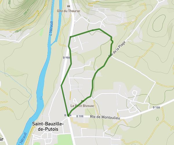
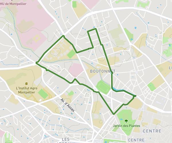
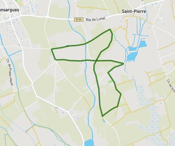
This running route covers 18.233mi starting from Claret, Hérault. The run is a loop trail and returns to the trailhead. This run is rated as strenuous, expect about 2h45m to complete it. The route has an elevation gain of 1211ft and an elevation loss of 1204ft.
Parcours Mars 25
Route details
6.63mph
Speed
1887 kcal
Calories burned
Loop trail
Route type
433ft
Min altitude
1145ft
Max altitude
Route profile
1211ft
Elevation gain
1204ft
Elevation loss
433ft
Min altitude
1145ft
Max altitude
How to get there
Trailhead: 422 Chemin Du Mas Blanc, 34270 Claret, France
GPS coordinates of the trailhead: 43.85986, 3.90059 / 43°51'35'' N, 3°54'2'' E