MapPlanner
2.722mi
Distance
25m
Duration
9:11/mi
Pace
Easy
Level

David

Route details

6.53mph
Speed
286 kcal
Calories burned
Loop trail
Route type
341ft
Min altitude
364ft
Max altitude

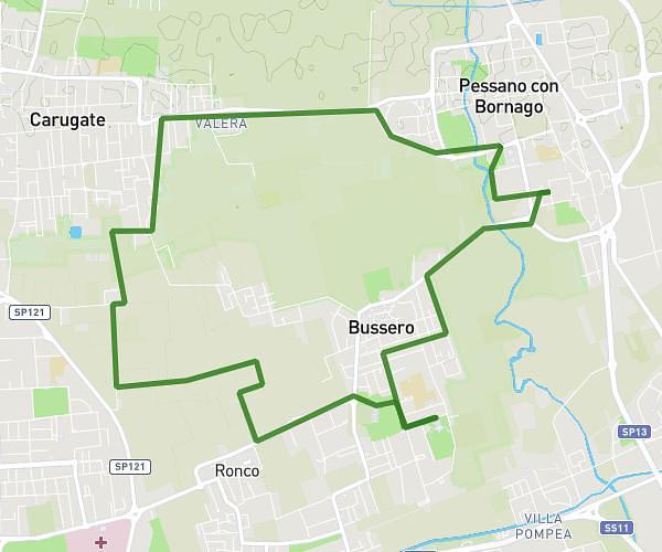
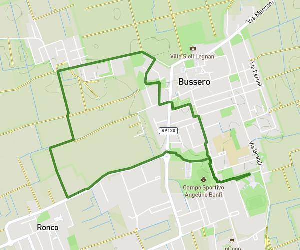
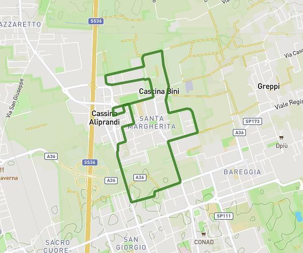
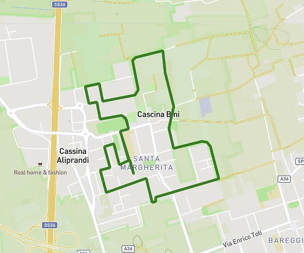
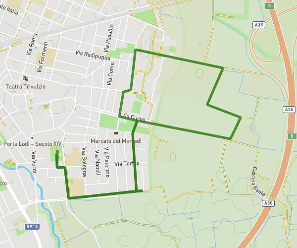
This running route covers 2.722mi starting from Assago, Milan. The run is a loop trail and returns to the trailhead. This run is rated as easy, expect about 25m to complete it. The route has an elevation gain of 20ft and an elevation loss of 23ft.

Route profile

20ft
Elevation gain
23ft
Elevation loss
341ft
Min altitude
364ft
Max altitude

How to get there

Trailhead: Via Corsica, 20057 Assago

GPS coordinates of the trailhead: 45.4069, 9.13034 / 45°24'24'' N, 9°7'49'' E

Caution: May Cross Private Property

This route may pass through or near private property. Always respect posted signs, obtain permission where required, and follow local trespassing laws. MapPlanner does not guarantee public access along any route.

Safety Notice

Trail and road conditions may change without notice due to weather, construction, or other factors. Always verify current conditions before heading out. You are responsible for your own safety — follow local signage, obey traffic laws, and use your best judgment on the trail.