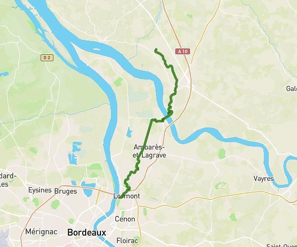
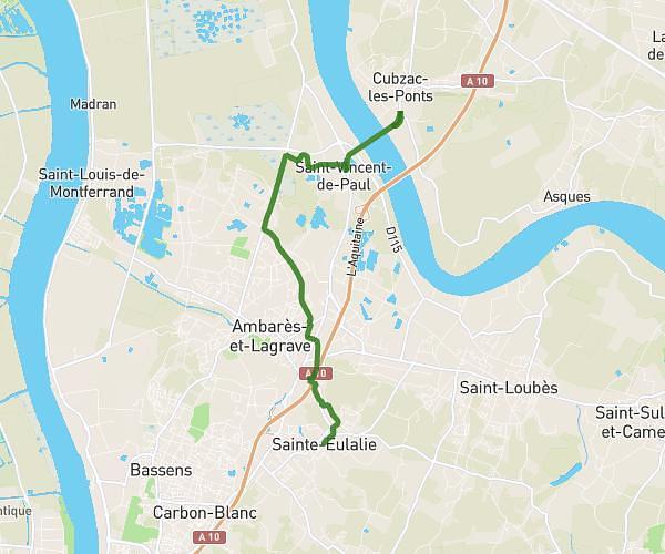
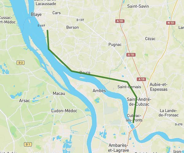
This hiking trail covers 17.22mi starting from Saint-Médard-en-Jalles, Gironde. The hike is a loop trail and returns to the trailhead. This hike is rated as moderate, plan for about 2h46m to complete it. The route has an elevation gain of 282ft and an elevation loss of 276ft.
St medard
Route details
6.21mph
Speed
1170 kcal
Calories burned
0.6%
Avg grade
Loop trail
Route type
43ft
Min altitude
157ft
Max altitude
Route profile
282ft
Elevation gain
276ft
Elevation loss
43ft
Min altitude
157ft
Max altitude
How to get there
Trailhead: Route De Feydit, 33160 Saint-Médard-en-Jalles
GPS coordinates of the trailhead: 44.87395, -0.70363 / 44°52'26'' N, 0°42'13'' W