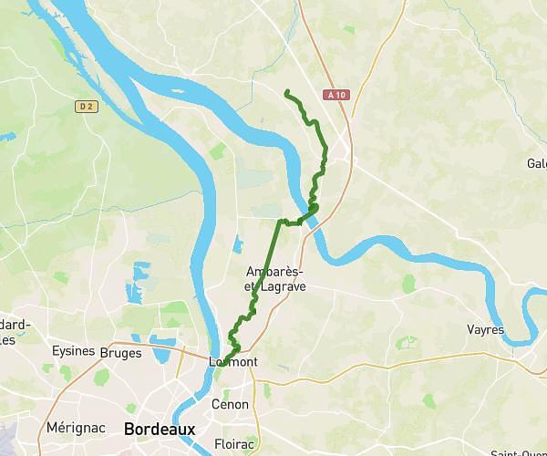
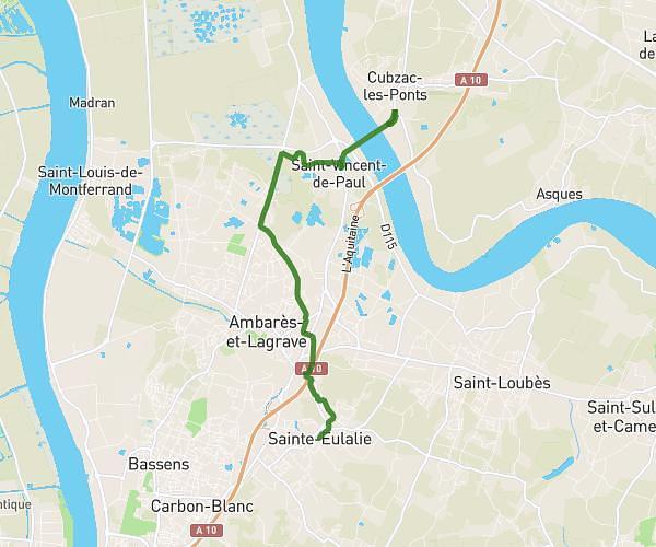
This hiking trail covers 14.148mi starting from Bayon-sur-Gironde, Gironde. The hike does not return to the trailhead and ends near Pont De Cubzac, 33240 Cubzac-les-Ponts, France. This hike is rated as moderate, plan for about 1h30m to complete it. The route has an elevation gain of 771ft and an elevation loss of 899ft.
We spi Charles
Route details
9.43mph
Speed
641 kcal
Calories burned
2.2%
Avg grade
Point to point
Route type
3ft
Min altitude
154ft
Max altitude
Route profile
771ft
Elevation gain
899ft
Elevation loss
3ft
Min altitude
154ft
Max altitude
How to get there
Trailhead: 9 Route De La Mairie, 33710 Bayon-sur-Gironde, France
GPS coordinates of the trailhead: 45.053207, -0.600076 / 45°3'11'' N, 0°36'0'' W