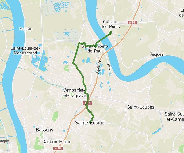
This hiking trail covers 18.17mi starting from Lormont, Gironde. The hike does not return to the trailhead and ends near 31 Chemin De Grelot, 33240 Saint-Laurent-d'Arce, France. This hike is rated as hard, plan for about 2h41m to complete it. The route has an elevation gain of 1214ft and an elevation loss of 1181ft.
We scout final
Route details
6.77mph
Speed
1151 kcal
Calories burned
2.5%
Avg grade
Point to point
Route type
3ft
Min altitude
194ft
Max altitude
Route profile
1214ft
Elevation gain
1181ft
Elevation loss
3ft
Min altitude
194ft
Max altitude
How to get there
Trailhead: 52 Rue Du Général De Gaulle, 33310 Lormont, France
GPS coordinates of the trailhead: 44.877524, -0.531178 / 44°52'39'' N, 0°31'52'' W