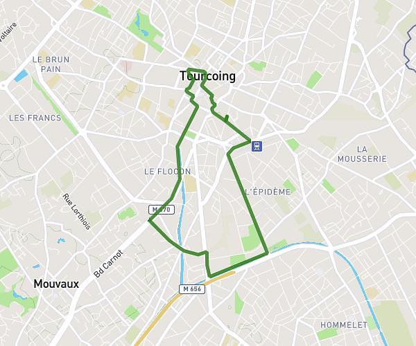
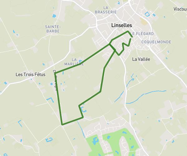
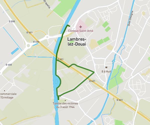
This walking route covers 3.224mi starting from Wattignies, Nord. The walk is a loop trail and returns to the trailhead. This walk is rated as moderate, plan for about 1h9m to complete it. The route has an elevation gain of 138ft and an elevation loss of 138ft.
autour de watt 1
Route details
21:25/mi
Pace
282 kcal
Calories burned
Loop trail
Route type
82ft
Min altitude
125ft
Max altitude
Route profile
138ft
Elevation gain
138ft
Elevation loss
82ft
Min altitude
125ft
Max altitude
How to get there
Trailhead: 14 Rue Faidherbe, 59139 Wattignies, France
GPS coordinates of the trailhead: 50.58287, 3.04985 / 50°34'58'' N, 3°2'59'' E