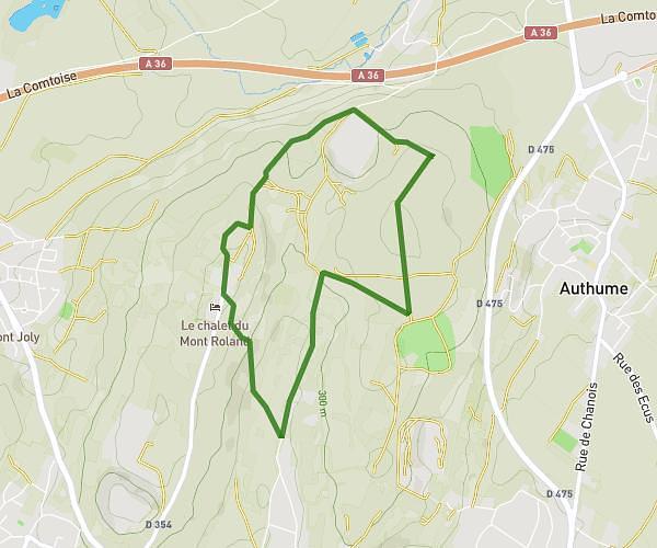
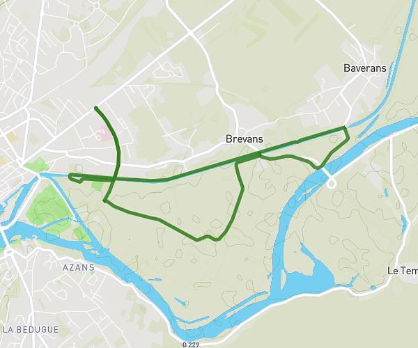
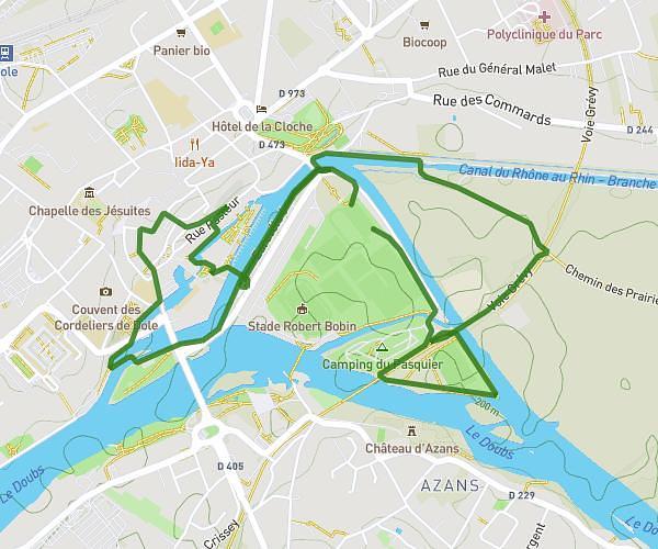
This hiking trail covers 7.031mi starting from Auxonne, Côte-d’Or. The hike is a loop trail and returns to the trailhead. This hike is rated as easy, plan for about 2h31m to complete it. The route has an elevation gain of 262ft and an elevation loss of 262ft.
Tour du canal d'Auxonne
Route details
2.8mph
Speed
1069 kcal
Calories burned
1.4%
Avg grade
Loop trail
Route type
574ft
Min altitude
610ft
Max altitude
Route profile
262ft
Elevation gain
262ft
Elevation loss
574ft
Min altitude
610ft
Max altitude
How to get there
Trailhead: 32 Rue Georges Pompidou, 21130 Auxonne, France
GPS coordinates of the trailhead: 47.19897, 5.39822 / 47°11'56'' N, 5°23'53'' E