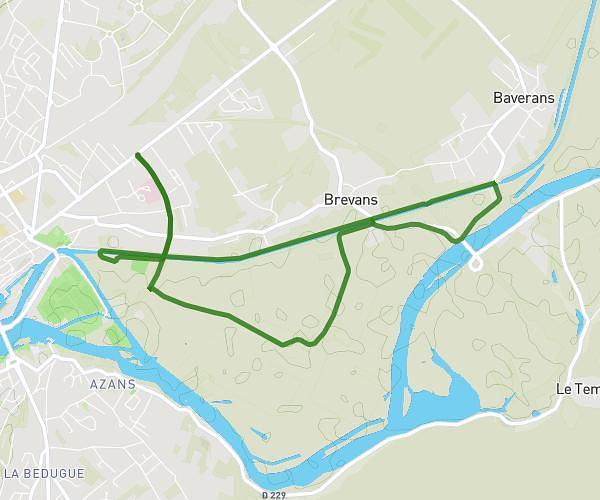
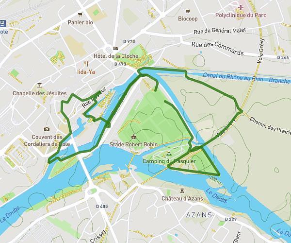
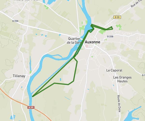
This hiking trail covers 3.404mi starting from Jouhe, Jura. The hike is a loop trail and returns to the trailhead. This hike is rated as moderate, plan for about 1h13m to complete it. The route has an elevation gain of 505ft and an elevation loss of 509ft.
Mont roland cool 6 km
Route details
2.8mph
Speed
535 kcal
Calories burned
5.6%
Avg grade
Loop trail
Route type
863ft
Min altitude
1135ft
Max altitude
Route profile
505ft
Elevation gain
509ft
Elevation loss
863ft
Min altitude
1135ft
Max altitude
How to get there
Trailhead: D 354, 39100 Jouhe
GPS coordinates of the trailhead: 47.12474, 5.47481 / 47°7'29'' N, 5°28'29'' E