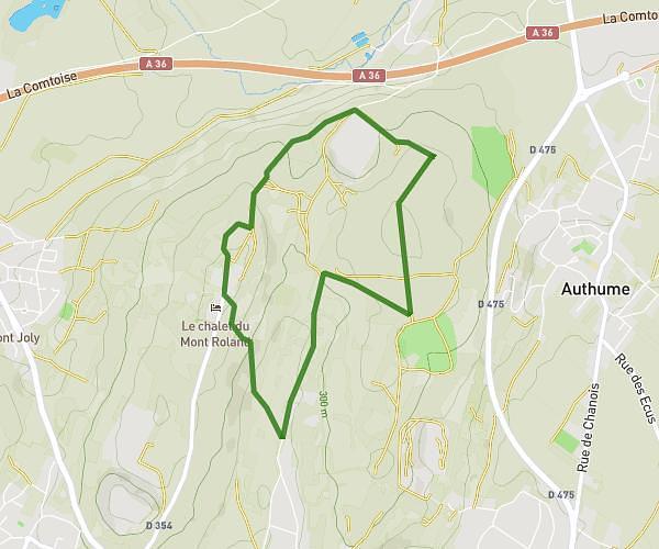
This hiking trail covers 5.217mi starting from Dole, Jura. The hike is a loop trail and returns to the trailhead. This hike is rated as easy, plan for about 44m to complete it. The route has an elevation gain of 279ft and an elevation loss of 279ft.
Fred Ok
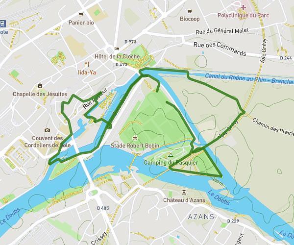
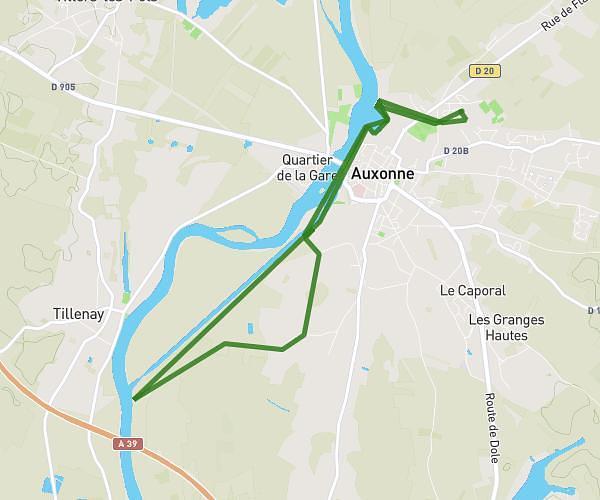
Route details
7.11mph
Speed
313 kcal
Calories burned
2.0%
Avg grade
Loop trail
Route type
646ft
Min altitude
728ft
Max altitude
Route profile
279ft
Elevation gain
279ft
Elevation loss
646ft
Min altitude
728ft
Max altitude
How to get there
Trailhead: Avenue Du Général Eisenhower, 39100 Dole
GPS coordinates of the trailhead: 47.09928, 5.50626 / 47°5'57'' N, 5°30'22'' E