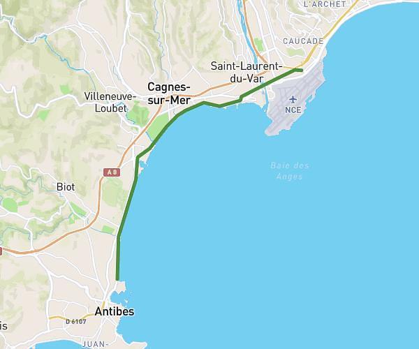
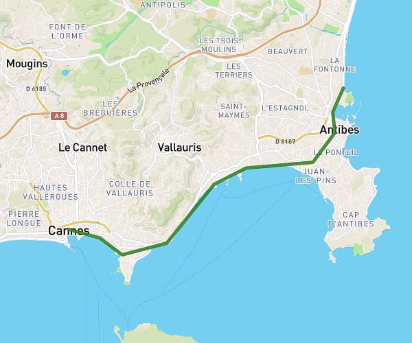
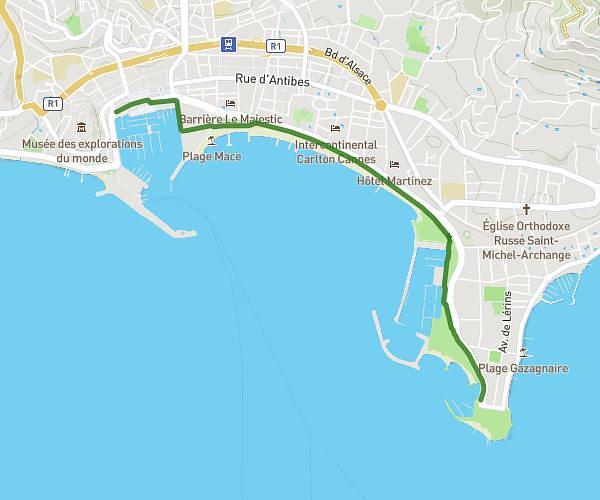
This walking route covers 6.301mi starting from Mandelieu-la-Napoule, Alpes-Maritimes. The walk does not return to the trailhead and ends near Promenade De La Pantiero, 06400 Cannes, France. This walk is rated as hard, plan for about 1h30m to complete it. The route has an elevation gain of 262ft and an elevation loss of 295ft.
Mandelieu domicile Mairie de cannes
Route details
14:17/mi
Pace
368 kcal
Calories burned
Point to point
Route type
0ft
Min altitude
49ft
Max altitude
Route profile
262ft
Elevation gain
295ft
Elevation loss
0ft
Min altitude
49ft
Max altitude
How to get there
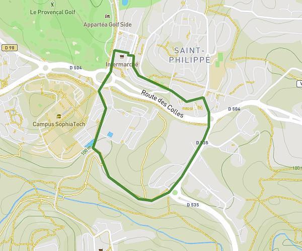
Trailhead: 430 Avenue Janvier Passero, 06210 Mandelieu-la-Napoule, France
GPS coordinates of the trailhead: 43.550923, 6.938066 / 43°33'3'' N, 6°56'17'' E