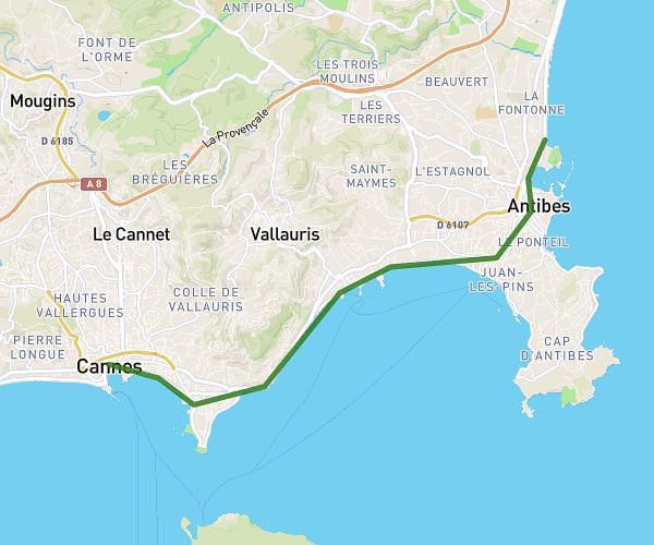
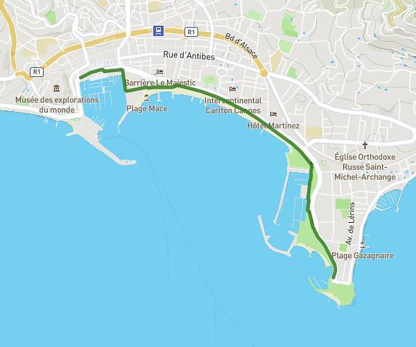
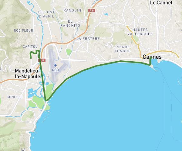
This walking route covers 8.119mi starting from Nice, Alpes-Maritimes. The walk does not return to the trailhead and ends near 70 Avenue Du 11 Novembre, 06600 Antibes, France. This walk is rated as strenuous, plan for about 1h42m to complete it. The route has an elevation gain of 59ft and an elevation loss of 69ft.
Nice parc Phoenix Antibes fort carré
Route details
12:33/mi
Pace
417 kcal
Calories burned
Point to point
Route type
10ft
Min altitude
43ft
Max altitude
Route profile
59ft
Elevation gain
69ft
Elevation loss
10ft
Min altitude
43ft
Max altitude
How to get there
Trailhead: 92 Boulevard René Cassin, 06200 Nice, France
GPS coordinates of the trailhead: 43.669654, 7.218501 / 43°40'10'' N, 7°13'6'' E