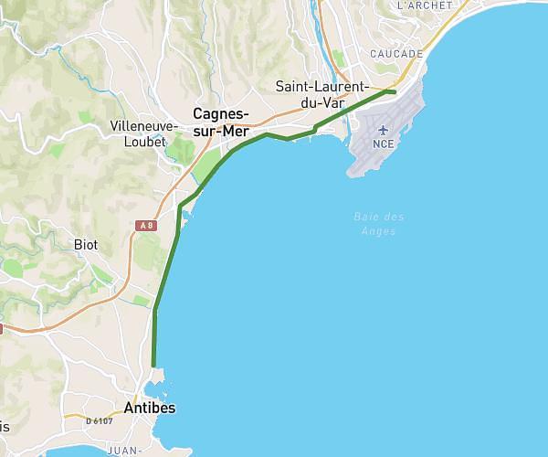
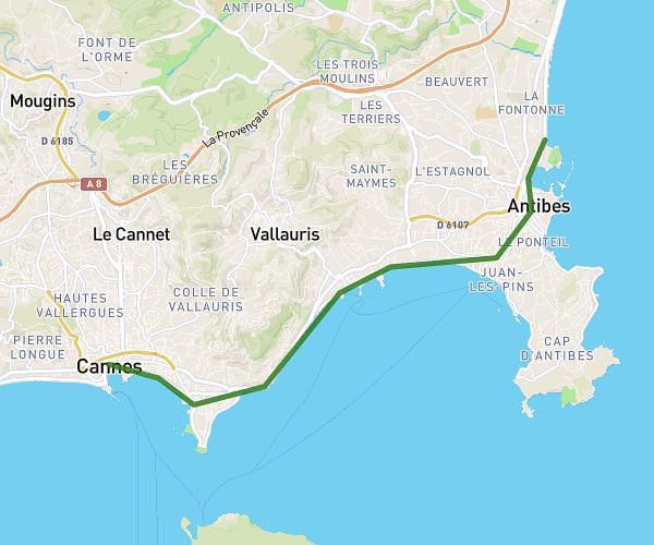
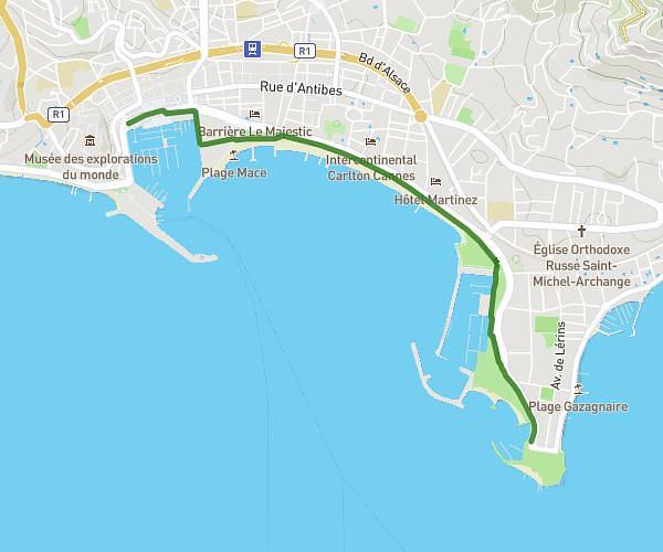
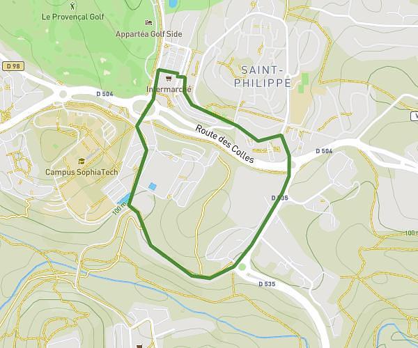
This walking route covers 18.531mi starting from Nice, Alpes-Maritimes. The walk does not return to the trailhead and ends near 6 Avenue Du Général De Gaulle, 06500 Menton, France. This walk is rated as strenuous, plan for about 7h27m to complete it. The route has an elevation gain of 2510ft and an elevation loss of 2539ft.
100k
Route details
24:08/mi
Pace
1827 kcal
Calories burned
Point to point
Route type
0ft
Min altitude
259ft
Max altitude
Route profile
2510ft
Elevation gain
2539ft
Elevation loss
0ft
Min altitude
259ft
Max altitude
How to get there
Trailhead: 4 Place Masséna, 06000 Nice, France
GPS coordinates of the trailhead: 43.696412, 7.270684 / 43°41'47'' N, 7°16'14'' E