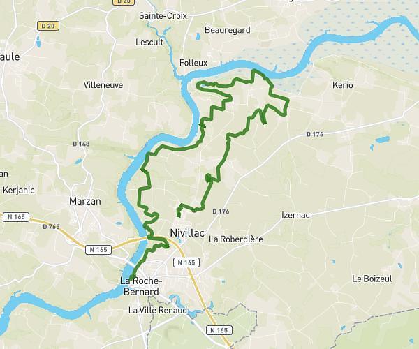
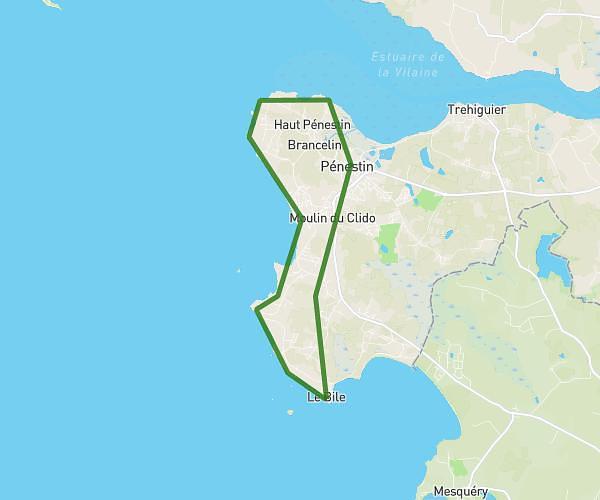
This running route covers 7.202mi starting from Pénestin, Morbihan. The run is a loop trail and returns to the trailhead. This run is rated as moderate, expect about 1h10m to complete it. The route has an elevation gain of 43ft and an elevation loss of 30ft.
Penestin
Route details
6.18mph
Speed
800 kcal
Calories burned
Loop trail
Route type
20ft
Min altitude
62ft
Max altitude
Route profile
43ft
Elevation gain
30ft
Elevation loss
20ft
Min altitude
62ft
Max altitude
How to get there
Trailhead: Route De La Roche-Bernard, 56130 Pénestin
GPS coordinates of the trailhead: 47.47869, -2.45581 / 47°28'43'' N, 2°27'20'' W