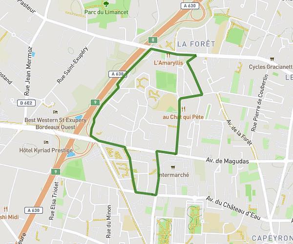
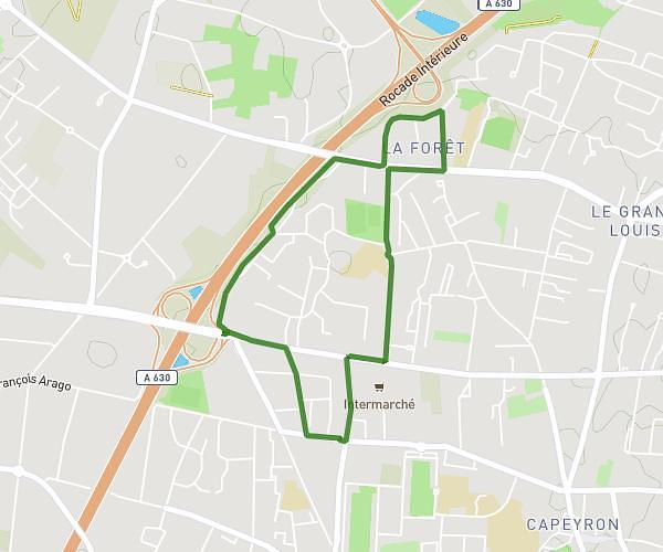
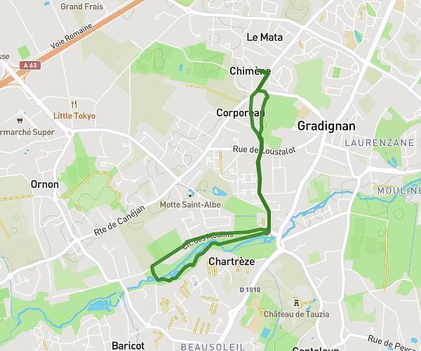
This running route covers 12.608mi starting from Le Taillan-Médoc, Gironde. The run is a loop trail and returns to the trailhead. This run is rated as strenuous, expect about 2h2m to complete it. The route has an elevation gain of 23ft and an elevation loss of 10ft.
Trail de mai 20 km
Route details
6.2mph
Speed
1395 kcal
Calories burned
Loop trail
Route type
95ft
Min altitude
115ft
Max altitude
Route profile
23ft
Elevation gain
10ft
Elevation loss
95ft
Min altitude
115ft
Max altitude
How to get there
Trailhead: 94 Avenue Du Stade, 33320 Le Taillan-Médoc, France
GPS coordinates of the trailhead: 44.91615, -0.68508 / 44°54'58'' N, 0°41'6'' W