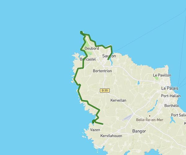
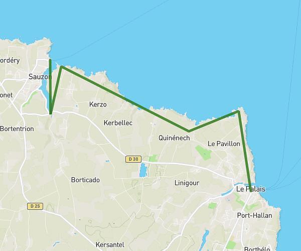
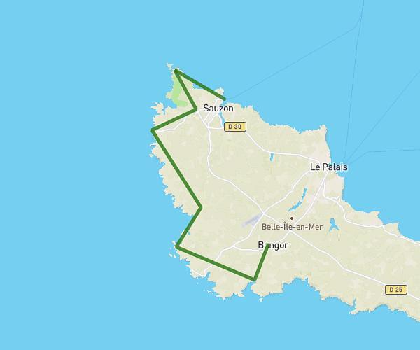
This hiking trail covers 18.179mi starting from Bangor, Morbihan. The hike does not return to the trailhead and ends near C 3, 56360 Locmaria, France. This hike is rated as strenuous, plan for about 7h33m to complete it. The route has an elevation gain of 4255ft and an elevation loss of 4383ft.
Jour 2 Bangkor-Les grands sables
Route details
2.4mph
Speed
3412 kcal
Calories burned
9.0%
Avg grade
Point to point
Route type
13ft
Min altitude
177ft
Max altitude
Steep climb
Route profile
4255ft
Elevation gain
4383ft
Elevation loss
13ft
Min altitude
177ft
Max altitude
How to get there
Trailhead: D 25, 56360 Bangor, France
GPS coordinates of the trailhead: 47.321118, -3.17816 / 47°19'16'' N, 3°10'41'' W