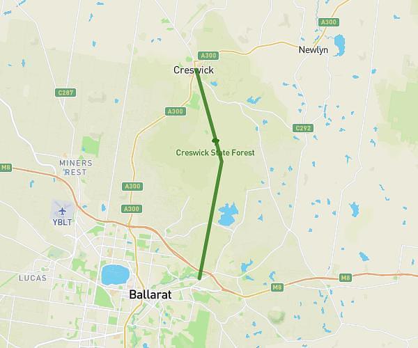
This hiking trail covers 8.901mi starting from Ballarat, Victoria. The hike is a loop trail and returns to the trailhead. This hike is rated as moderate, plan for about 2h45m to complete it. The route has an elevation gain of 820ft and an elevation loss of 820ft.
2 Lookouts loop
Route details
3.23mph
Speed
1191 kcal
Calories burned
3.5%
Avg grade
Loop trail
Route type
1404ft
Min altitude
1827ft
Max altitude
Route profile
820ft
Elevation gain
820ft
Elevation loss
1404ft
Min altitude
1827ft
Max altitude
How to get there
Trailhead: 17 Elsworth Street East, Canadian Victoria 3350, Australia
GPS coordinates of the trailhead: -37.58421, 143.87712 / 37°35'3'' S, 143°52'37'' E