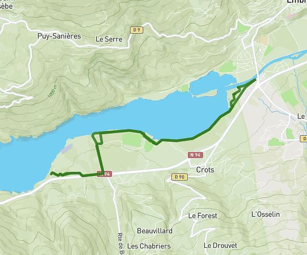
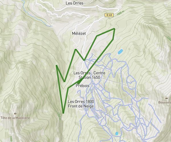
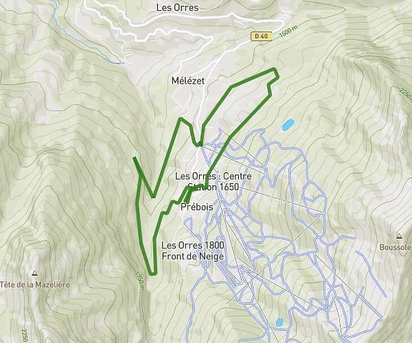
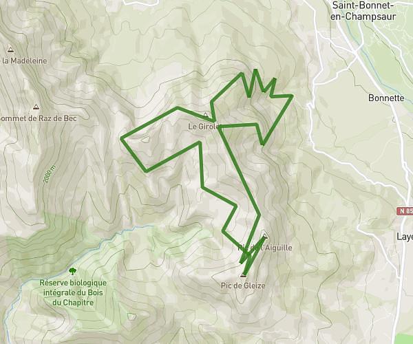
This running route covers 9.804mi starting from La Bâtie-Neuve, Hautes-Alpes. The run is a loop trail and returns to the trailhead. This run is rated as hard, expect about 2h5m to complete it. The route has an elevation gain of 1243ft and an elevation loss of 1243ft.
Parcours v6
Route details
4.7mph
Speed
1429 kcal
Calories burned
Loop trail
Route type
2559ft
Min altitude
3310ft
Max altitude
Route profile
1243ft
Elevation gain
1243ft
Elevation loss
2559ft
Min altitude
3310ft
Max altitude
How to get there
Trailhead: 210 Rue De L'ayasse, 05230 La Bâtie-Neuve, France
GPS coordinates of the trailhead: 44.56666, 6.20094 / 44°33'59'' N, 6°12'3'' E